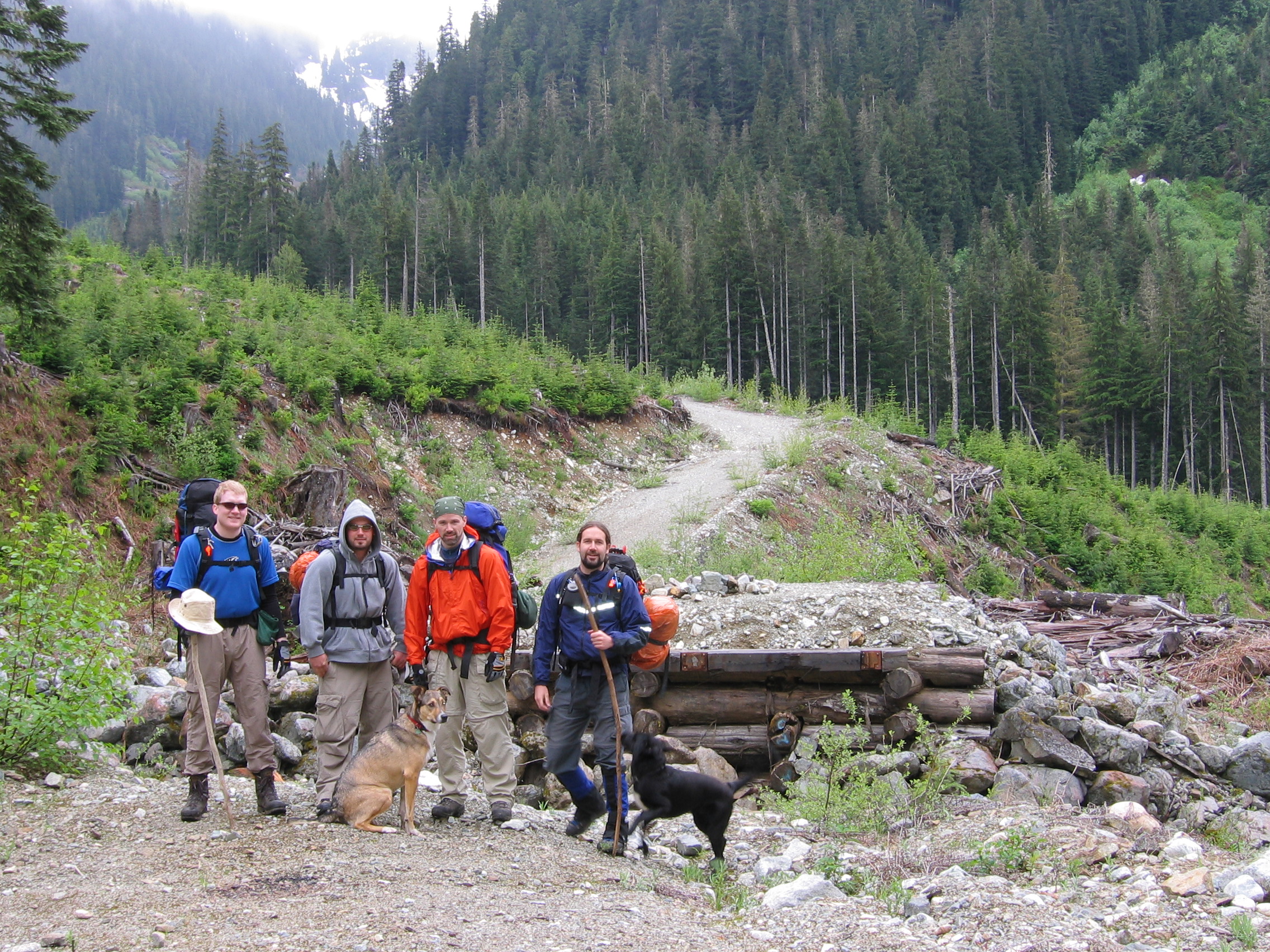
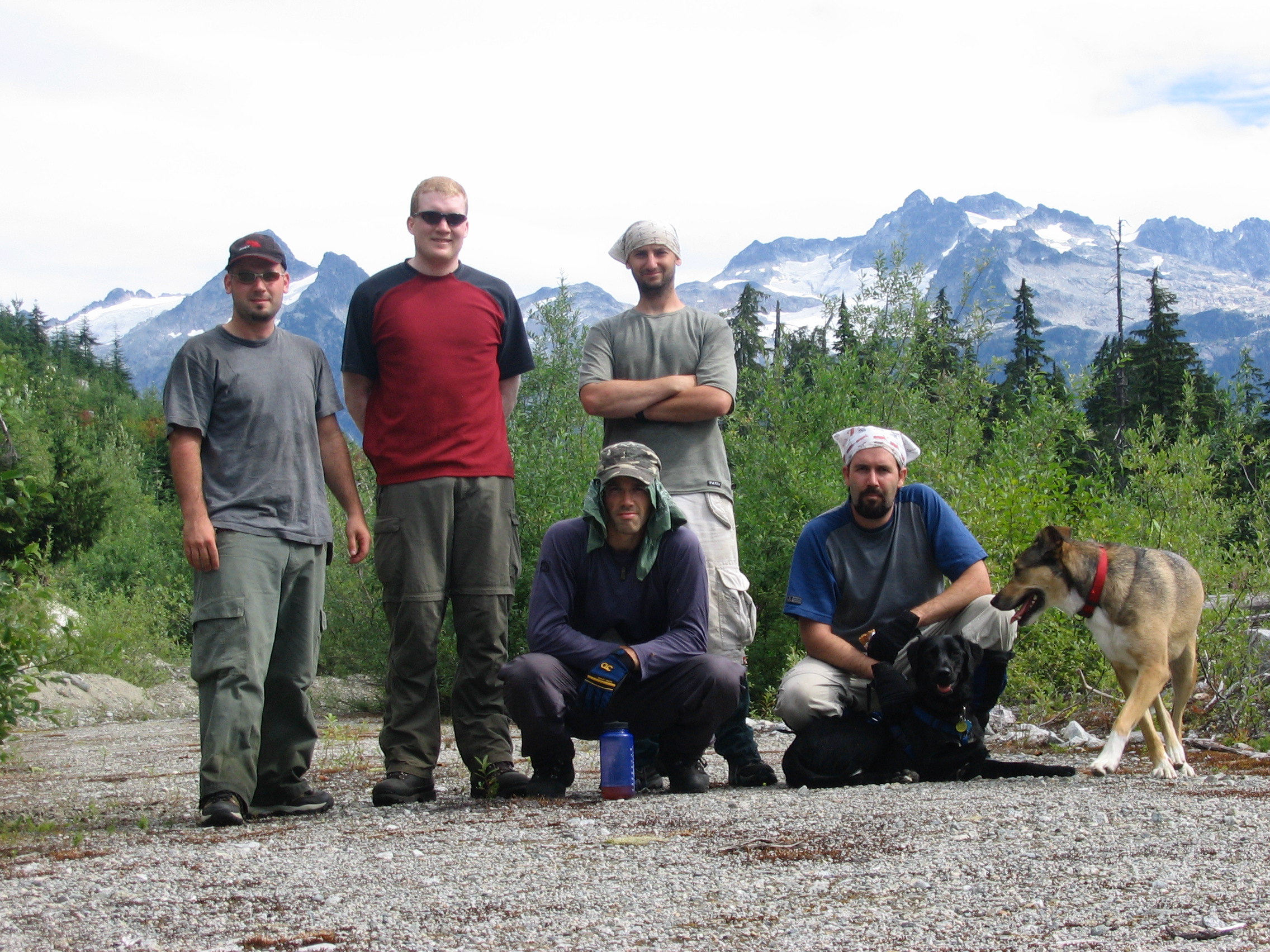
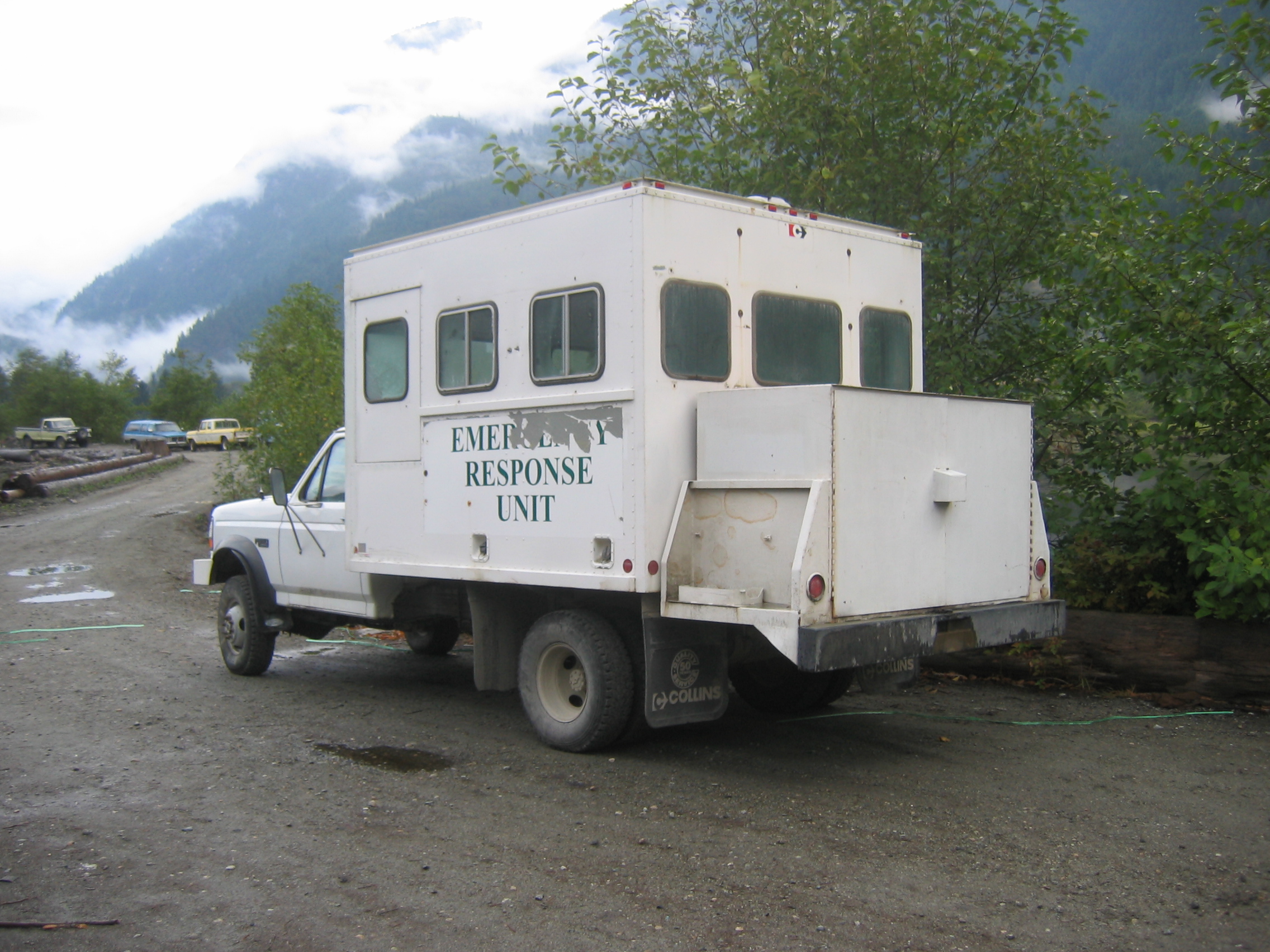
Before we even begin, and for your own good, don't hike with people like this.
Before we even begin, and for your own good, don't hike with people like this.
Starting just south of Squamish, we drive east on the
Mamquam FSR for ~14km and then turn left and follow the now deactivated
Crawford Creek Main ESE for another ~3km. Up until 2005 you could
follow this road all the way to where it crosses Crawford Creek. On our
last trip we encountered numerous large rain ditches which required a
lot of rock piling just to get a 2000 Dakota on 32's through. At one
point we ran into a ditch that we weren't getting through no matter
what. What used to be an easy drive turned into an extra 4km tacked on to the start of our hike. It appears we won't be home in time for corn flakes like we hoped.
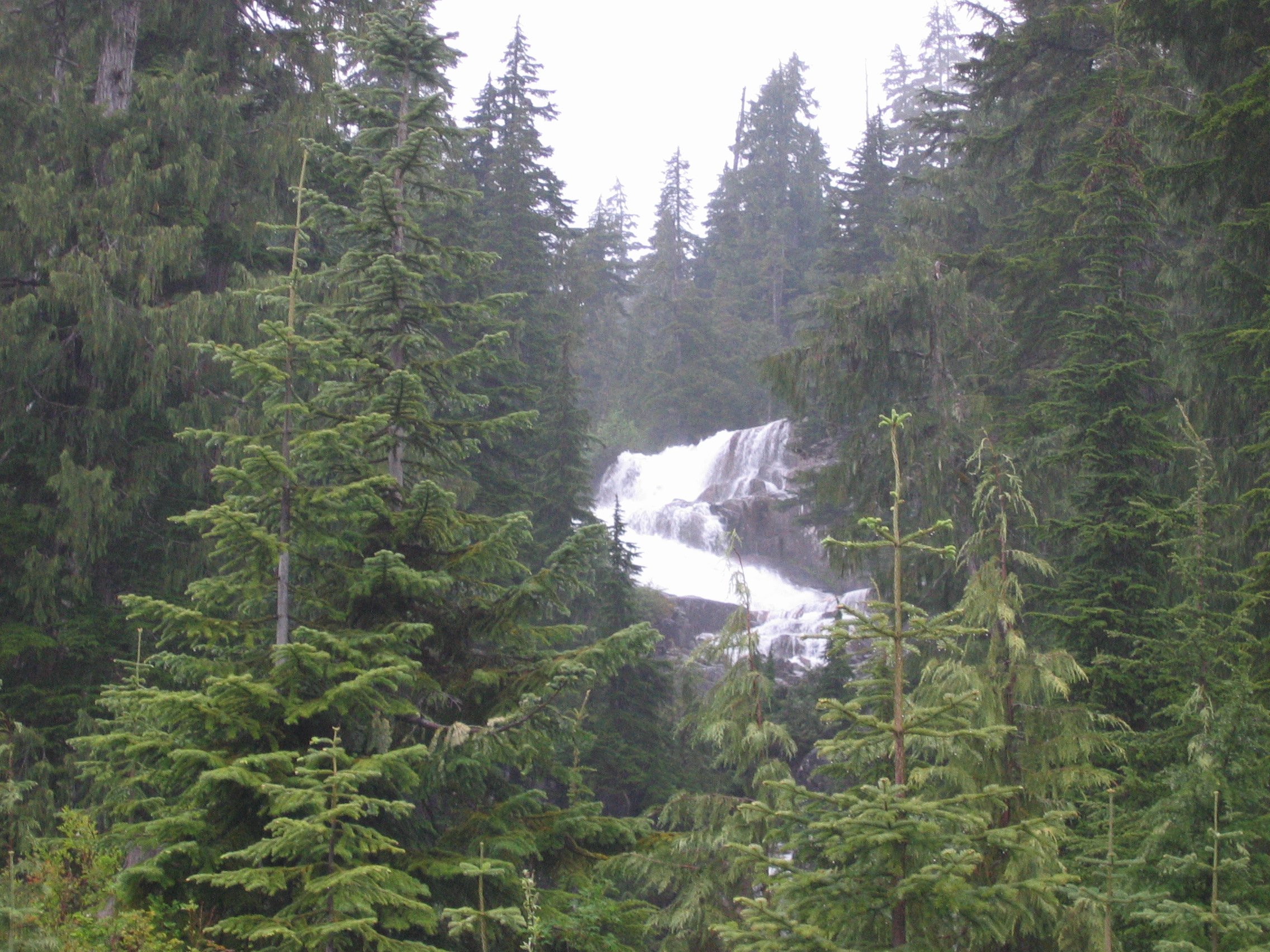
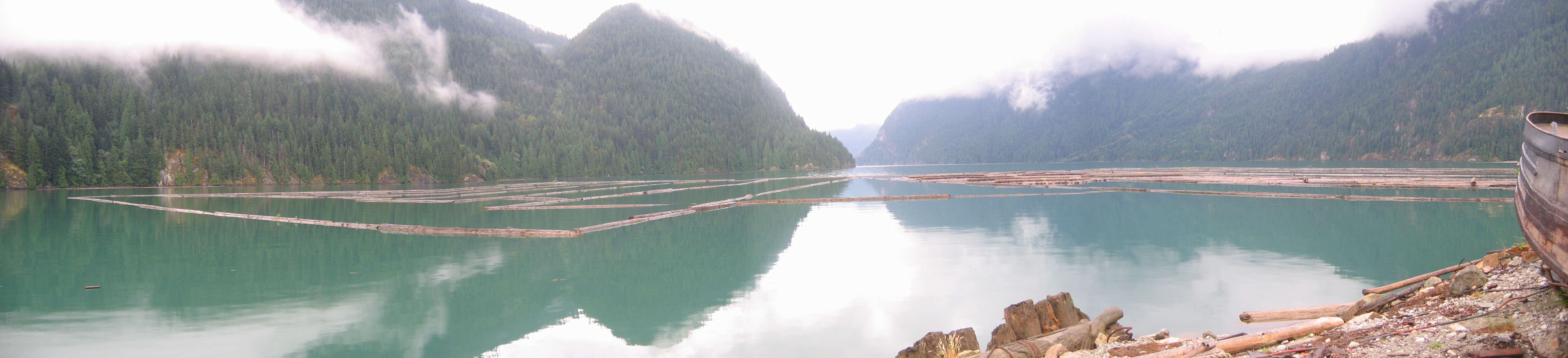
The scenery along the road is pretty sweet though.
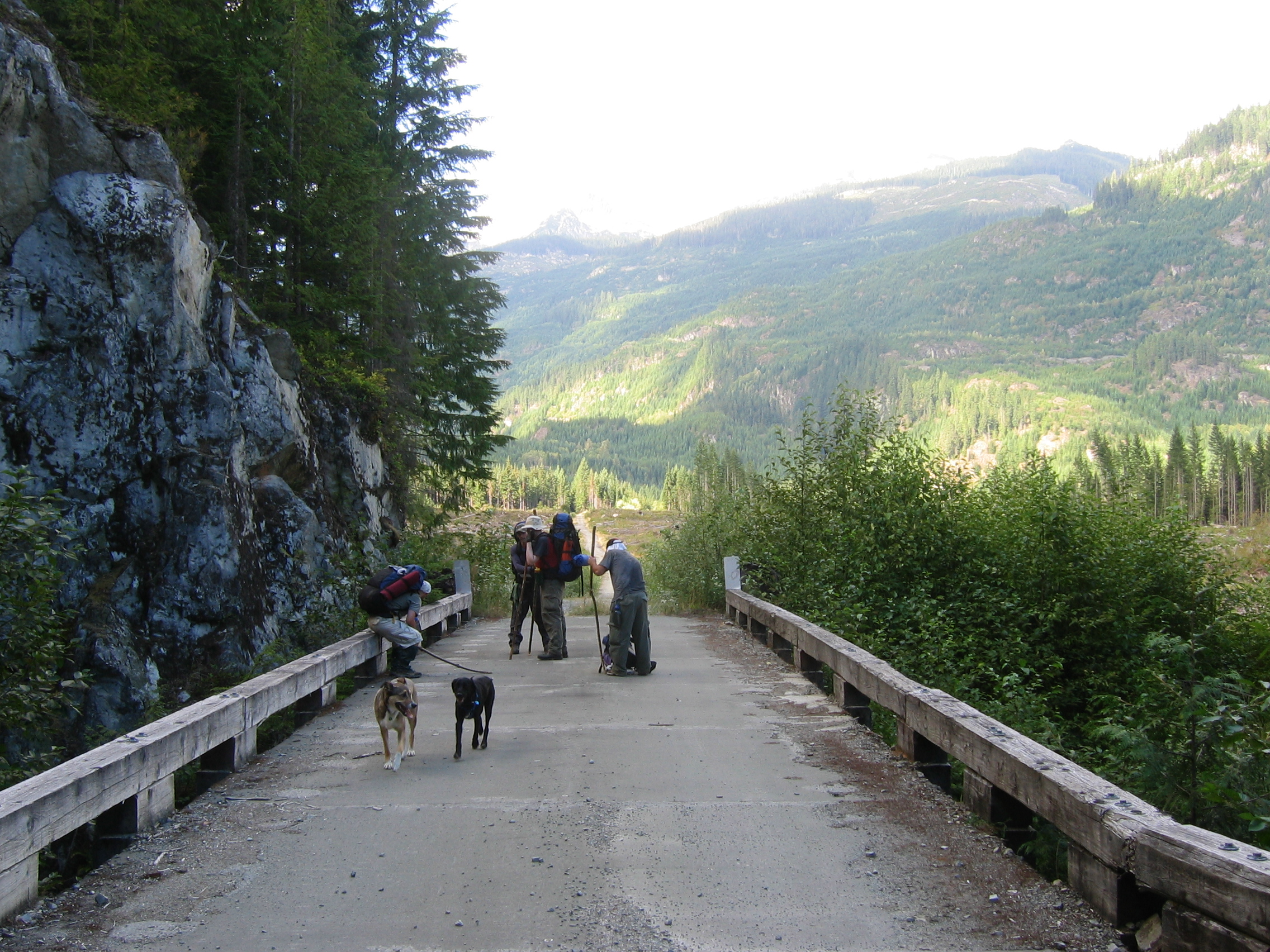
Finally we reach Crawford Creek, our start
point on our first three attempts. The continuing road on the other
side is where we're headed. Sadly, there hasn't been a bridge here
since at least 2001.
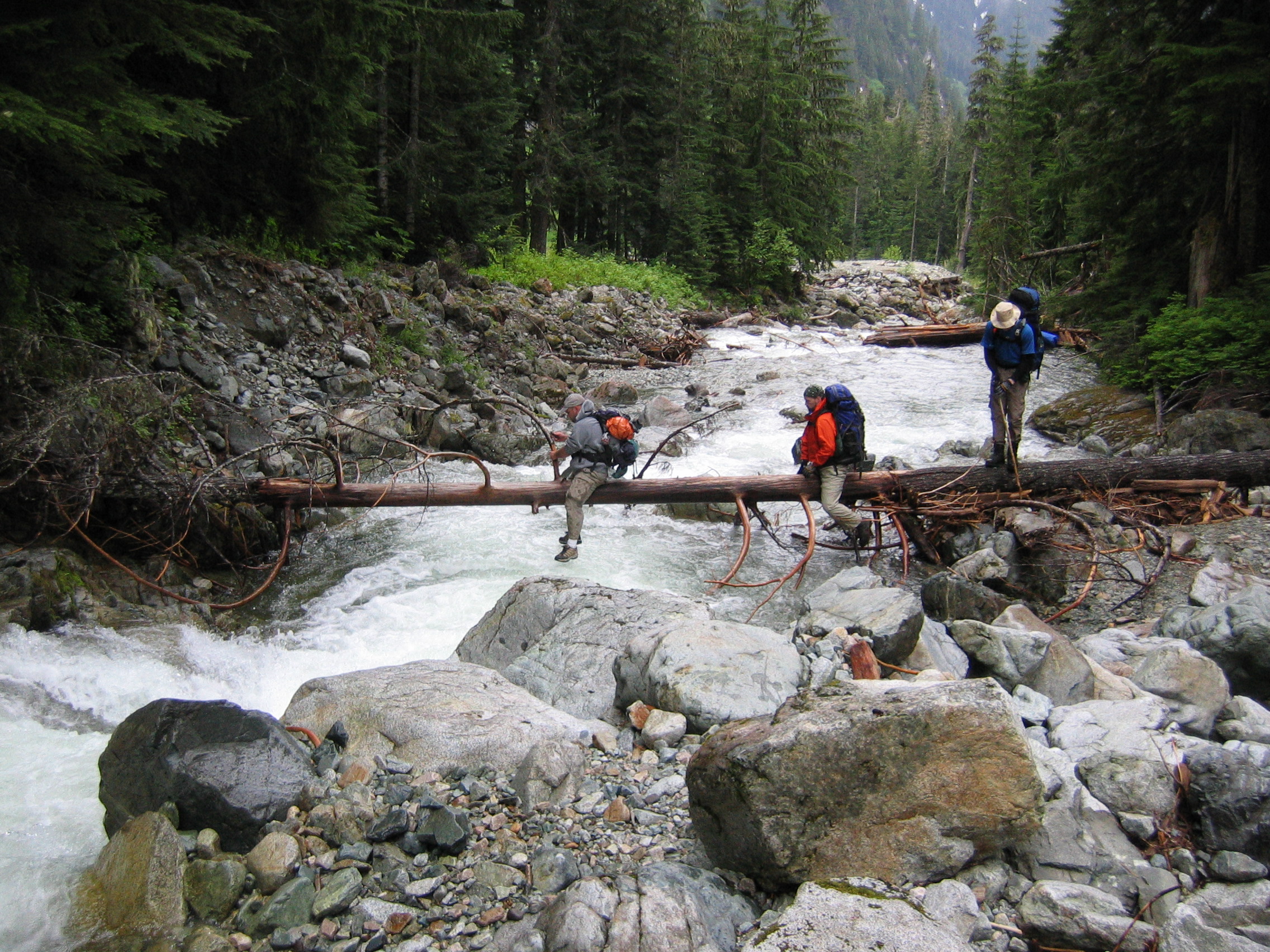
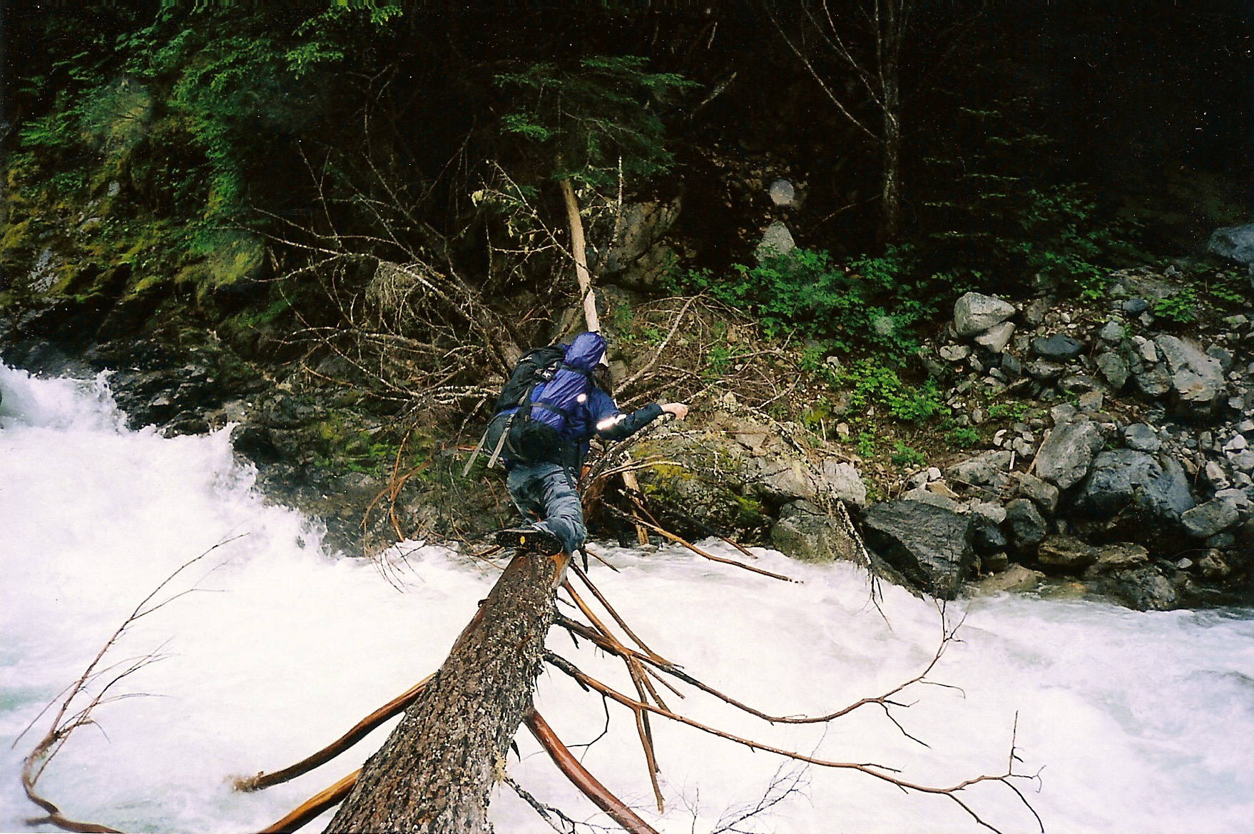
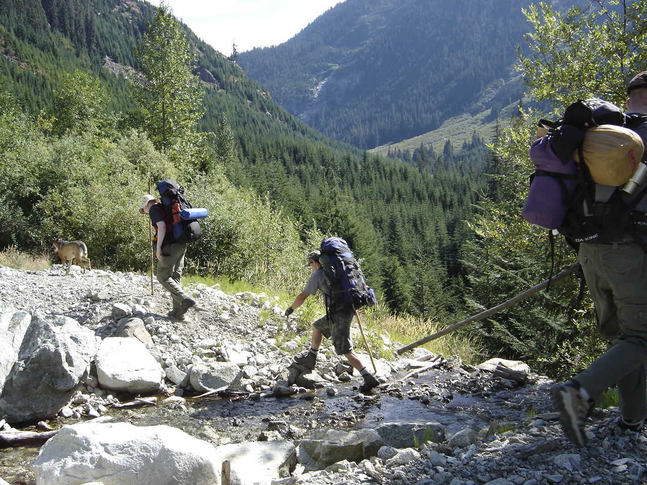
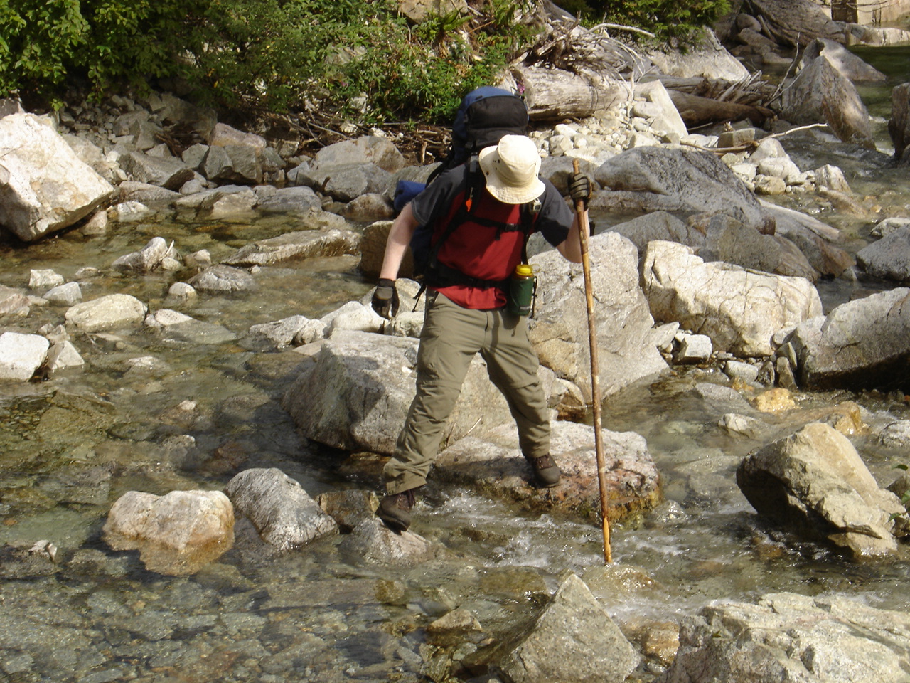
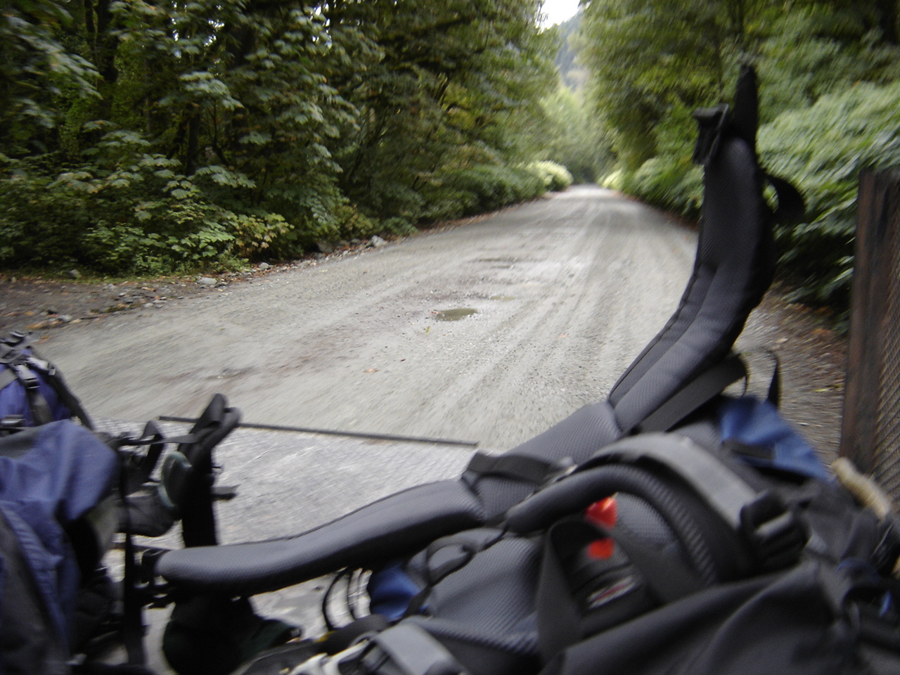
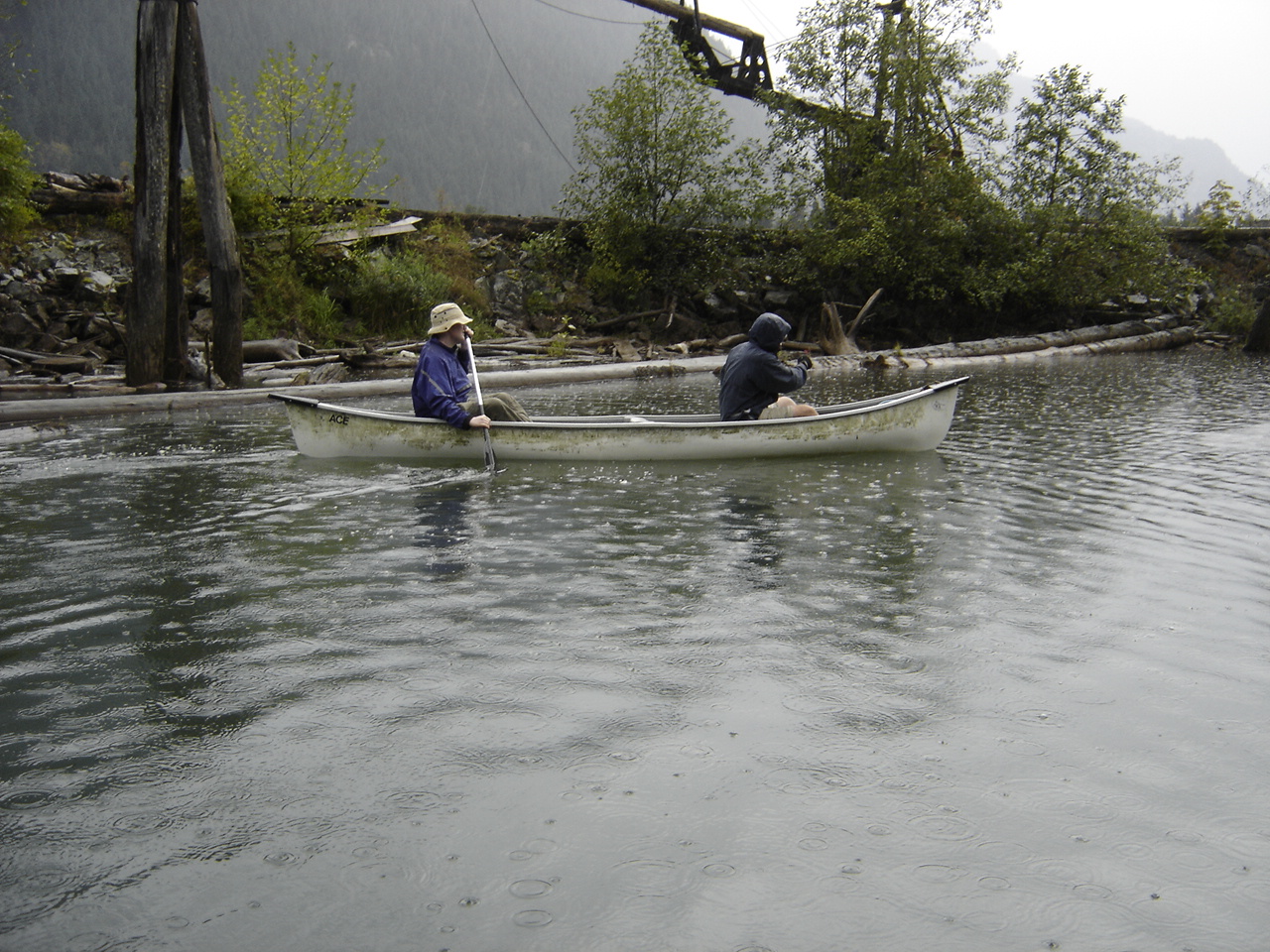
Soon we're safely across and ready to roll. After rolling we light, smoke and repeat as necessary. Begin hiking up now.
The road climbs up through a clearcut and then takes a sharp
left. Just before that turn we leave the road and head for the trees,
trying not to break a leg in the crappy mess underfoot. Clearcutting is
awesome!
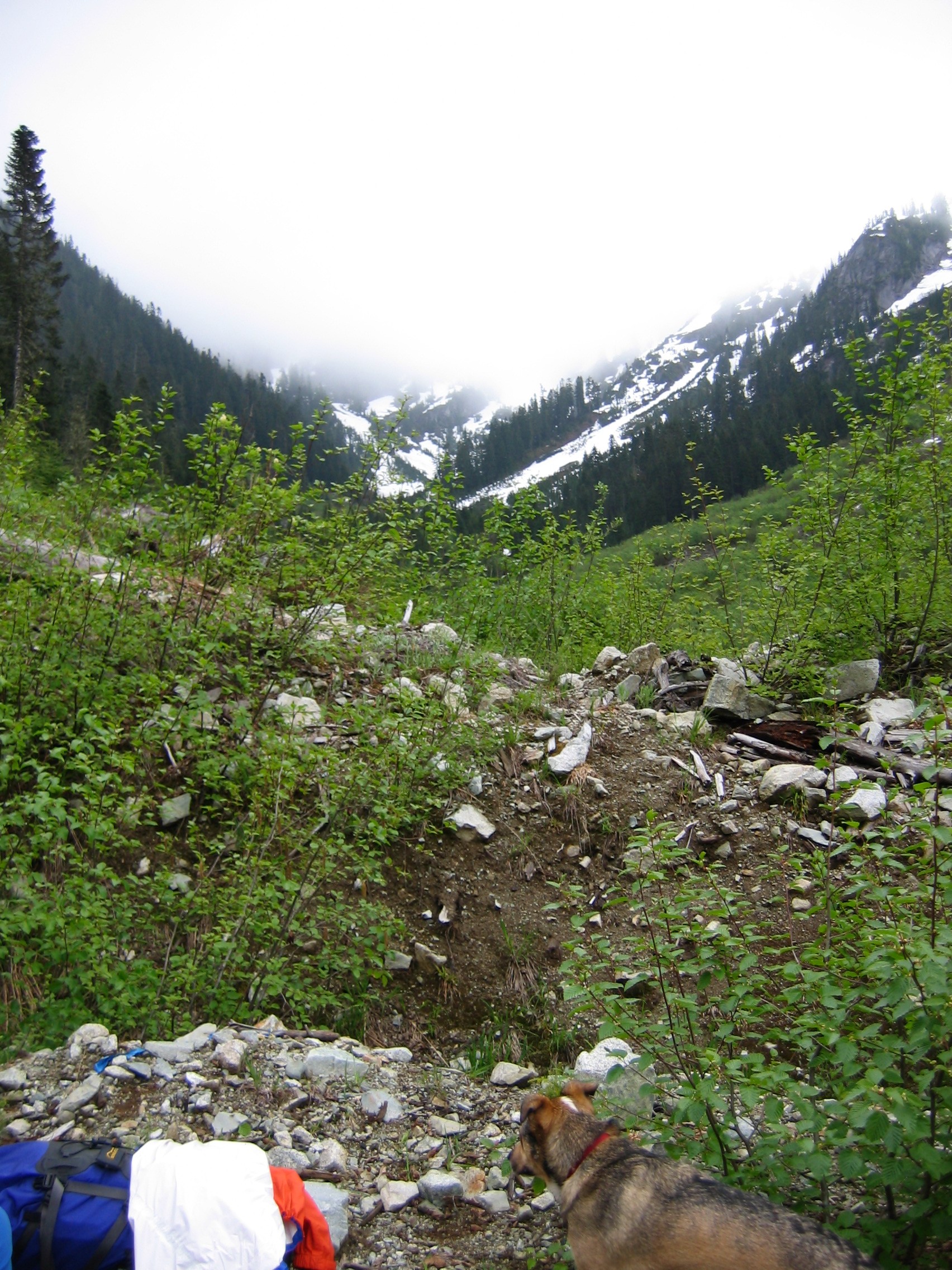
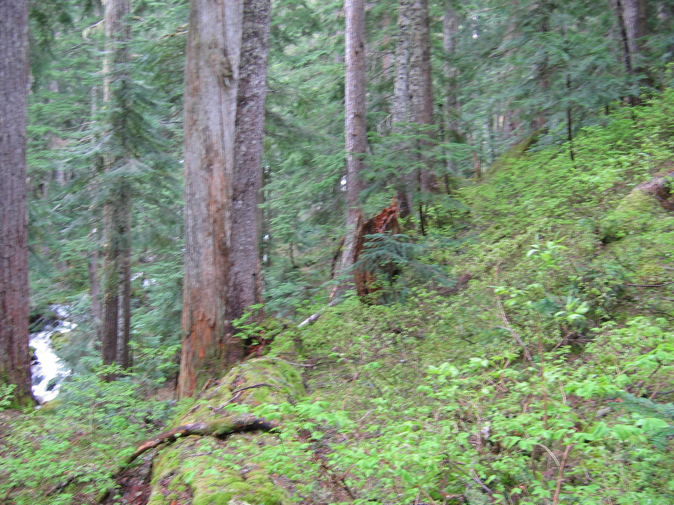
 After a short push through the clearcut we reach the treeline, pausing
to celebrate completion of the first 1% of the journey. We've just
crossed into Pinecone Burke Provincial Park.
After a short push through the clearcut we reach the treeline, pausing
to celebrate completion of the first 1% of the journey. We've just
crossed into Pinecone Burke Provincial Park.
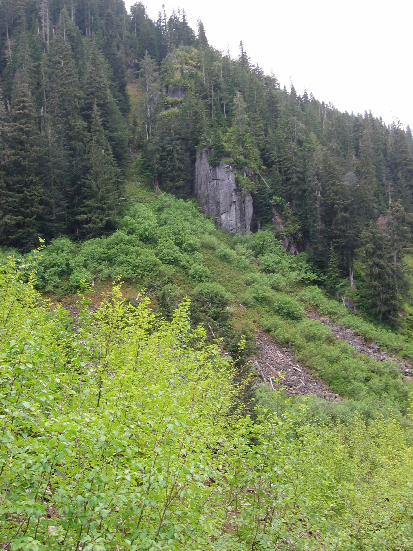
After a short stretch of forest and a minor gully
we reach a small creek that flows back down towards Crawford Creek.
After a bit of hunting around everyone picks their best looking spot
and jumps across. Then it's choose your own way up a 3m embankment and
the real climbing begins.
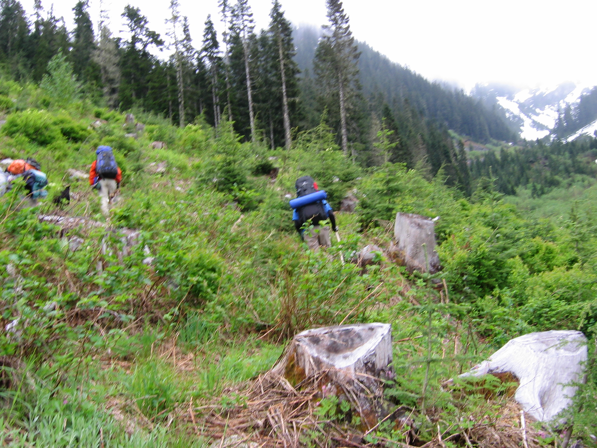
Over the next 2.5km we loosely parallel the creek while
gaining ~300m. It's a lot easier going in early summer when there's
still hardpacked snow covering the thick, knee-high brush.

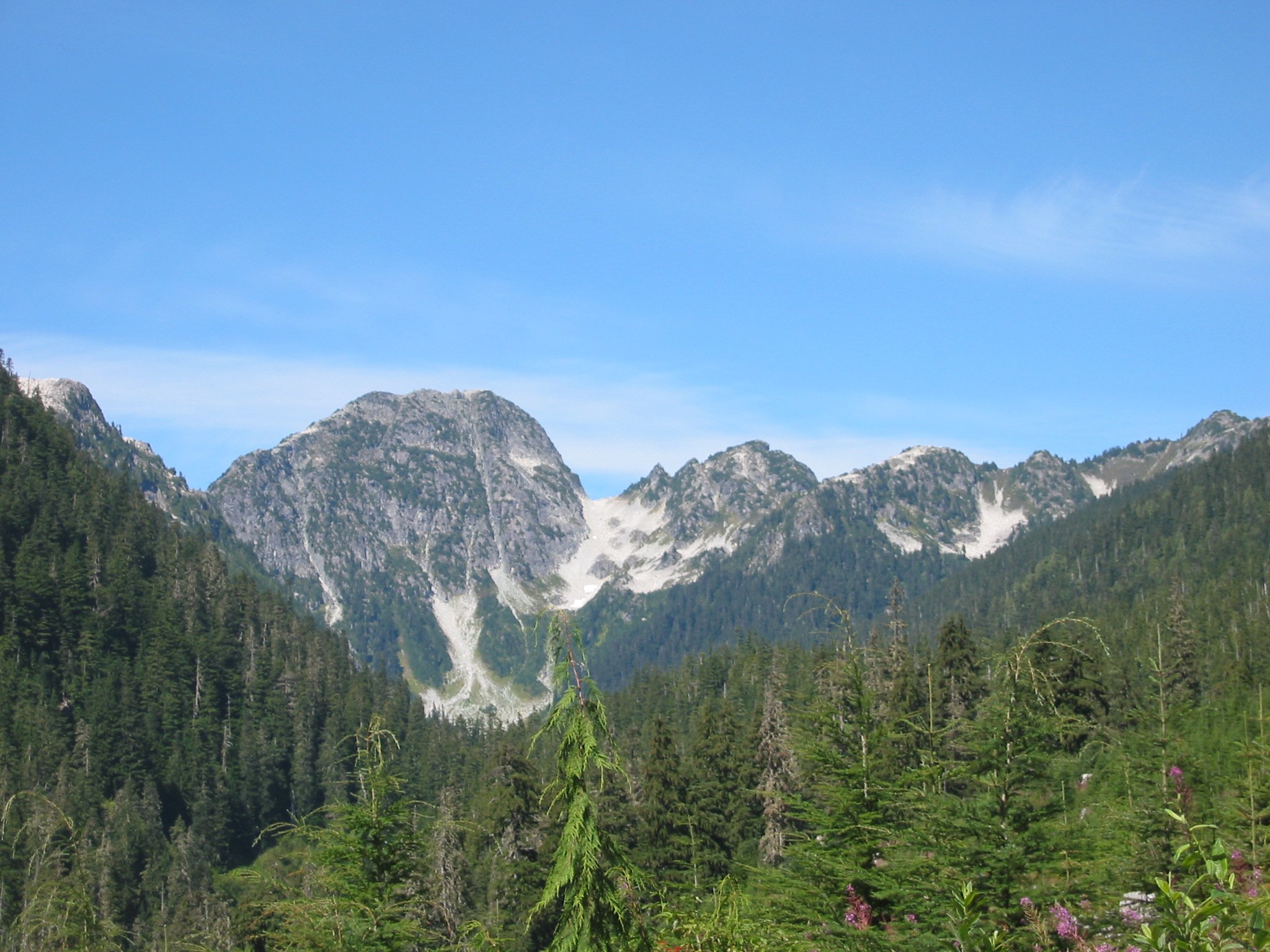
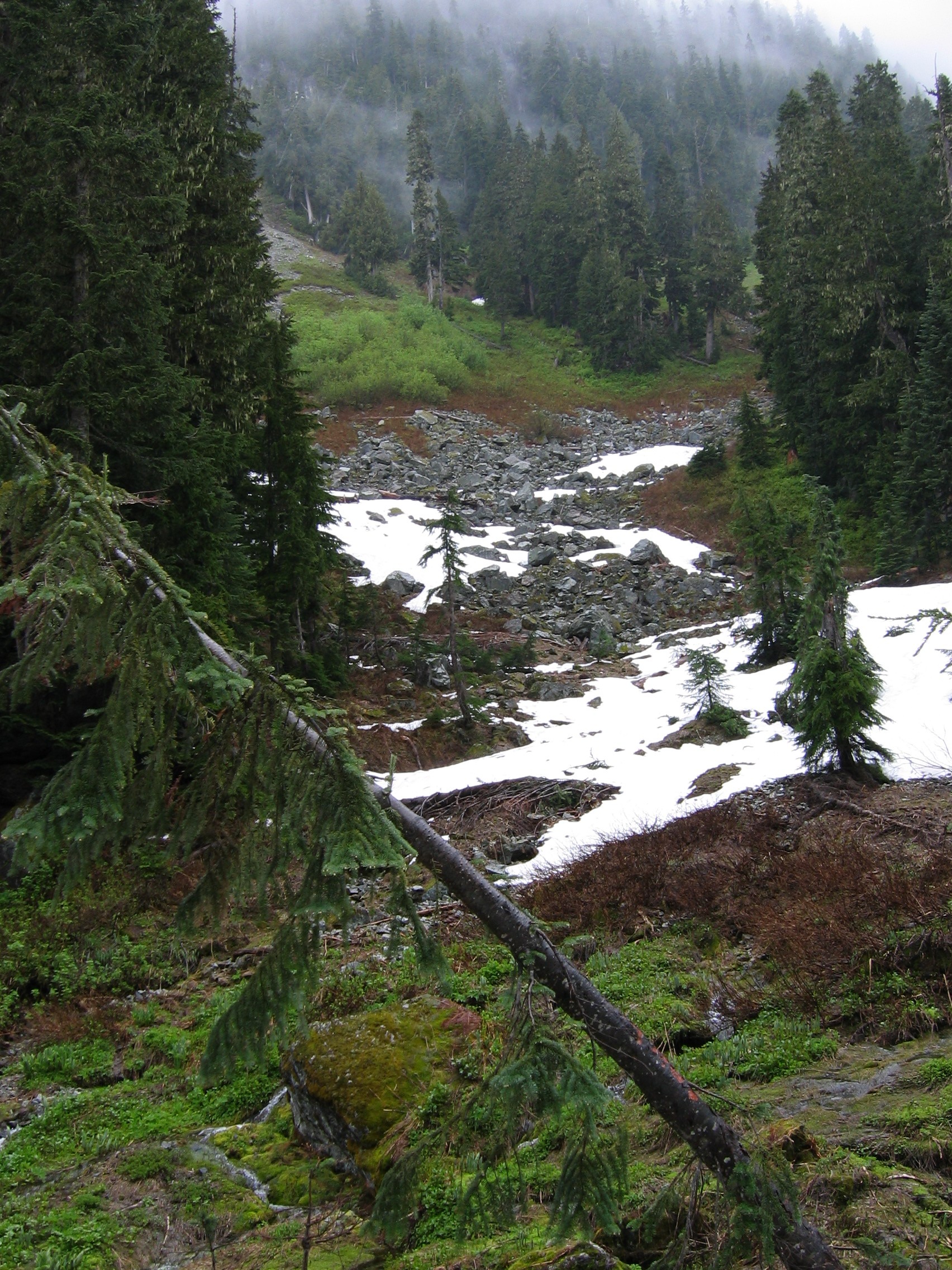
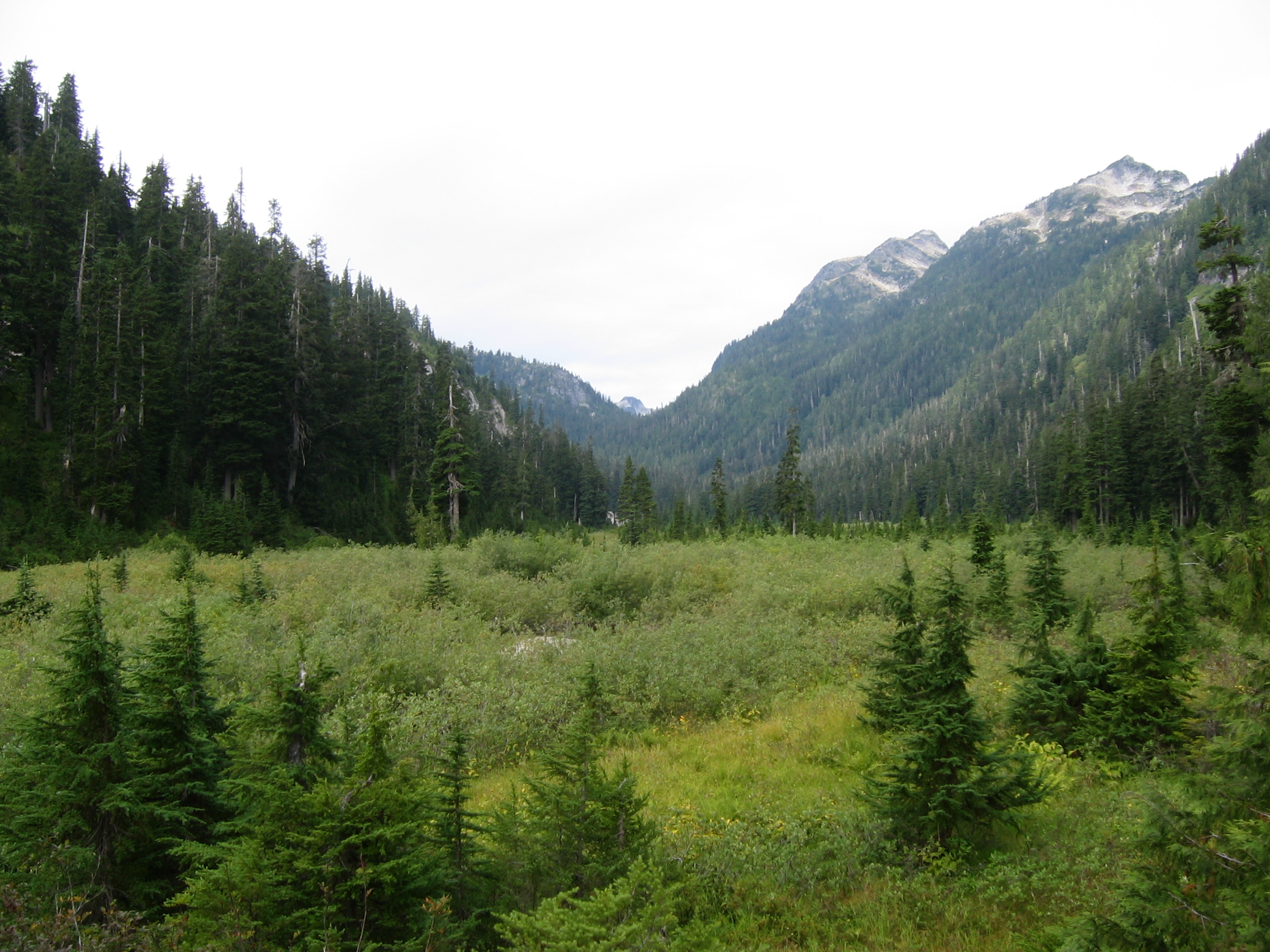
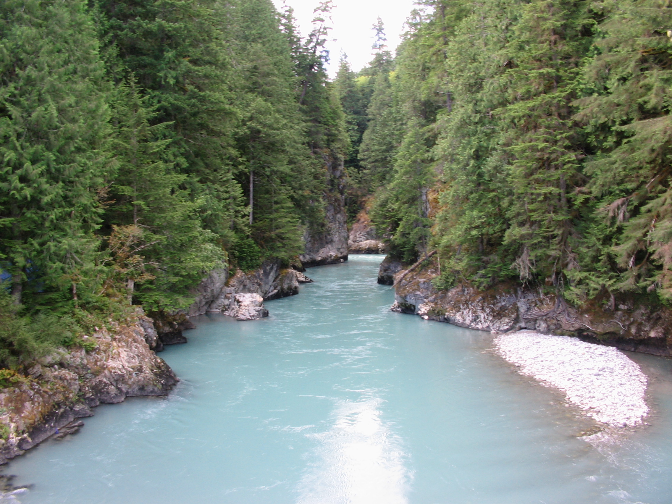
Finally we emerge into the ultra-scenic Creekside Chronic Pass. The first pic is from August 2005, the second from May 2004.
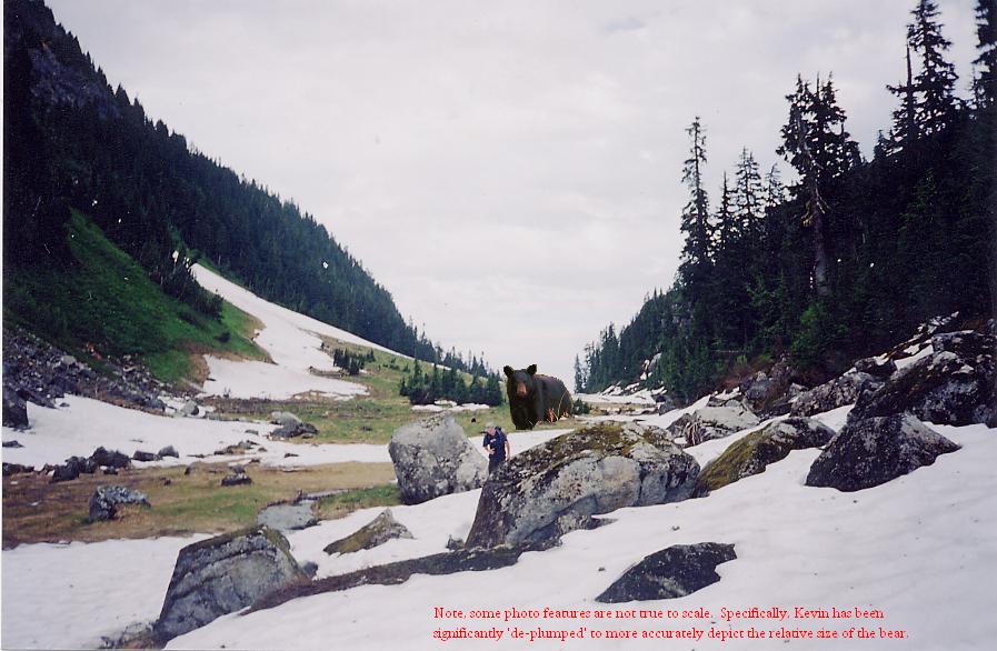
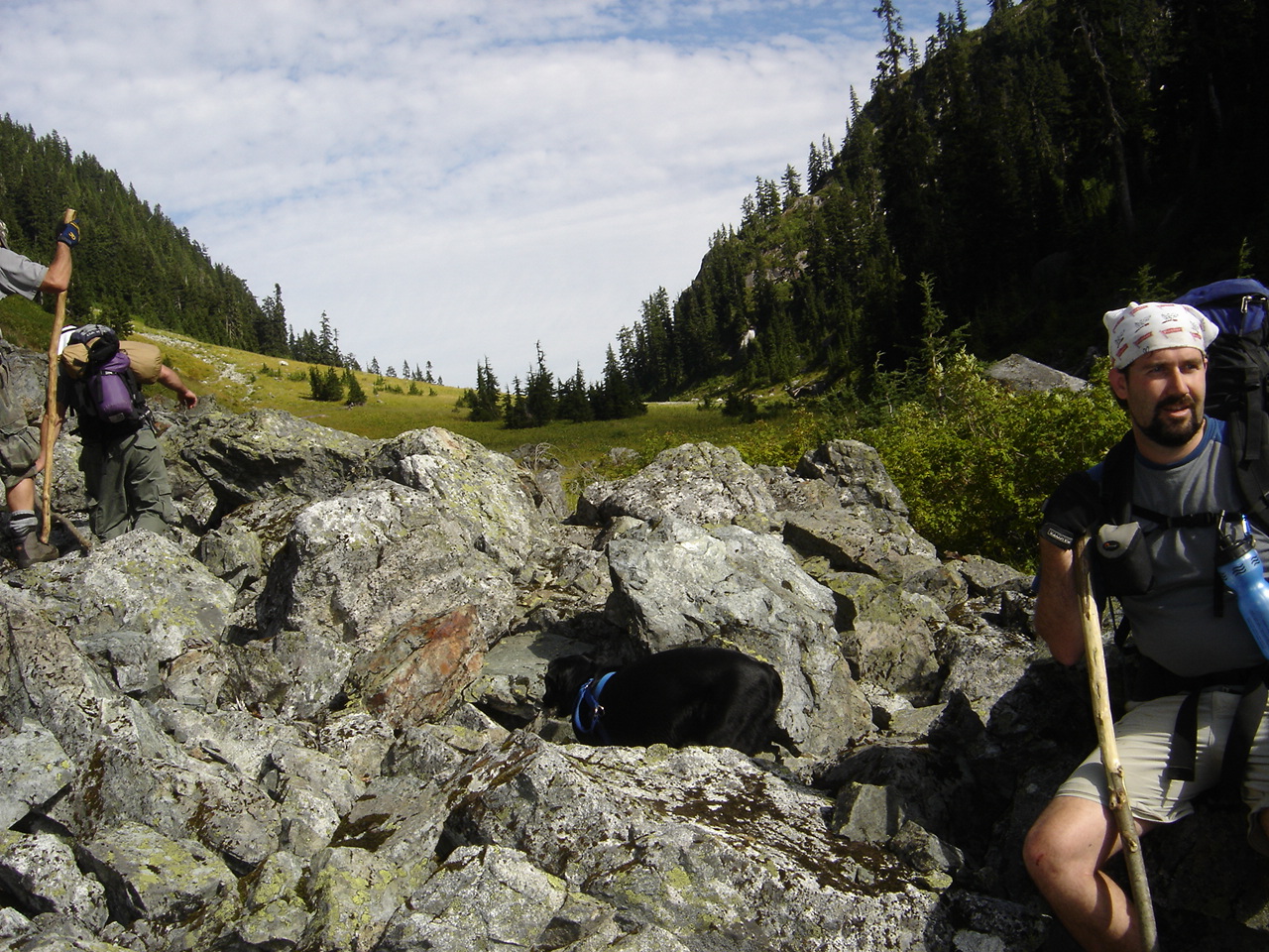
In 2002 we saw the biggest black bear we'd ever seen
munching away on shrubs in the middle of this pass. A dangerous game of
cat and mouse ensued reaching a wicked climax when the full-bellied
bear passed out for a nap on some snow and we just walked by a couple
hundred metres away. Click on the pic to better see the bear.
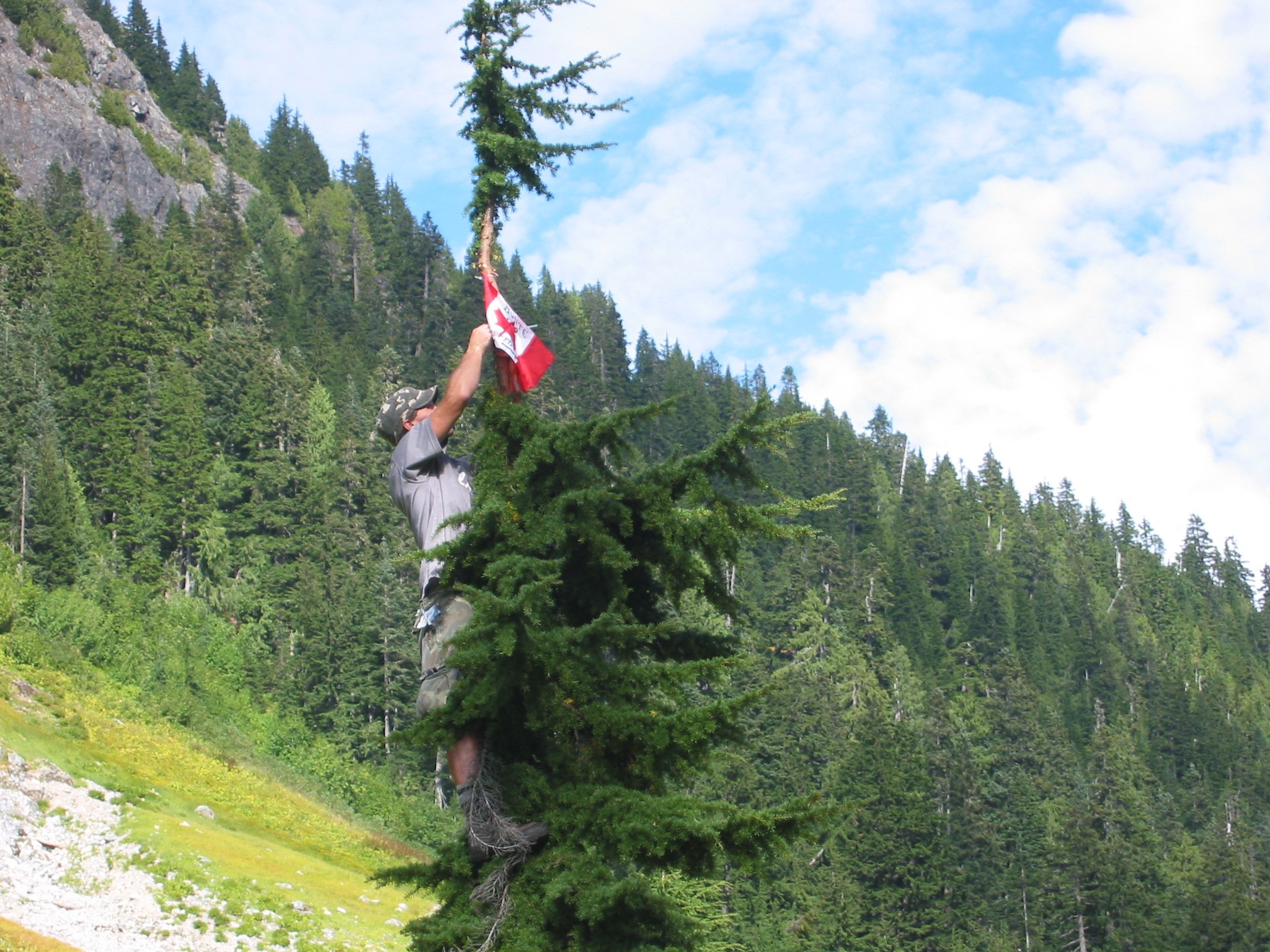
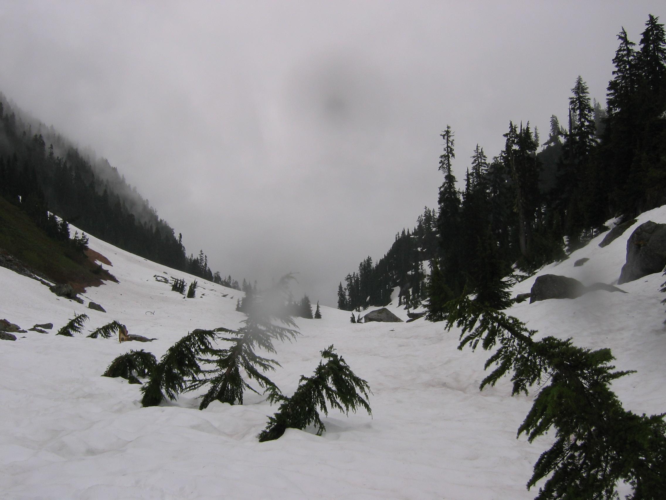
It ain't the moon but still worth a flag...
Through the pass we cross the highest point of the
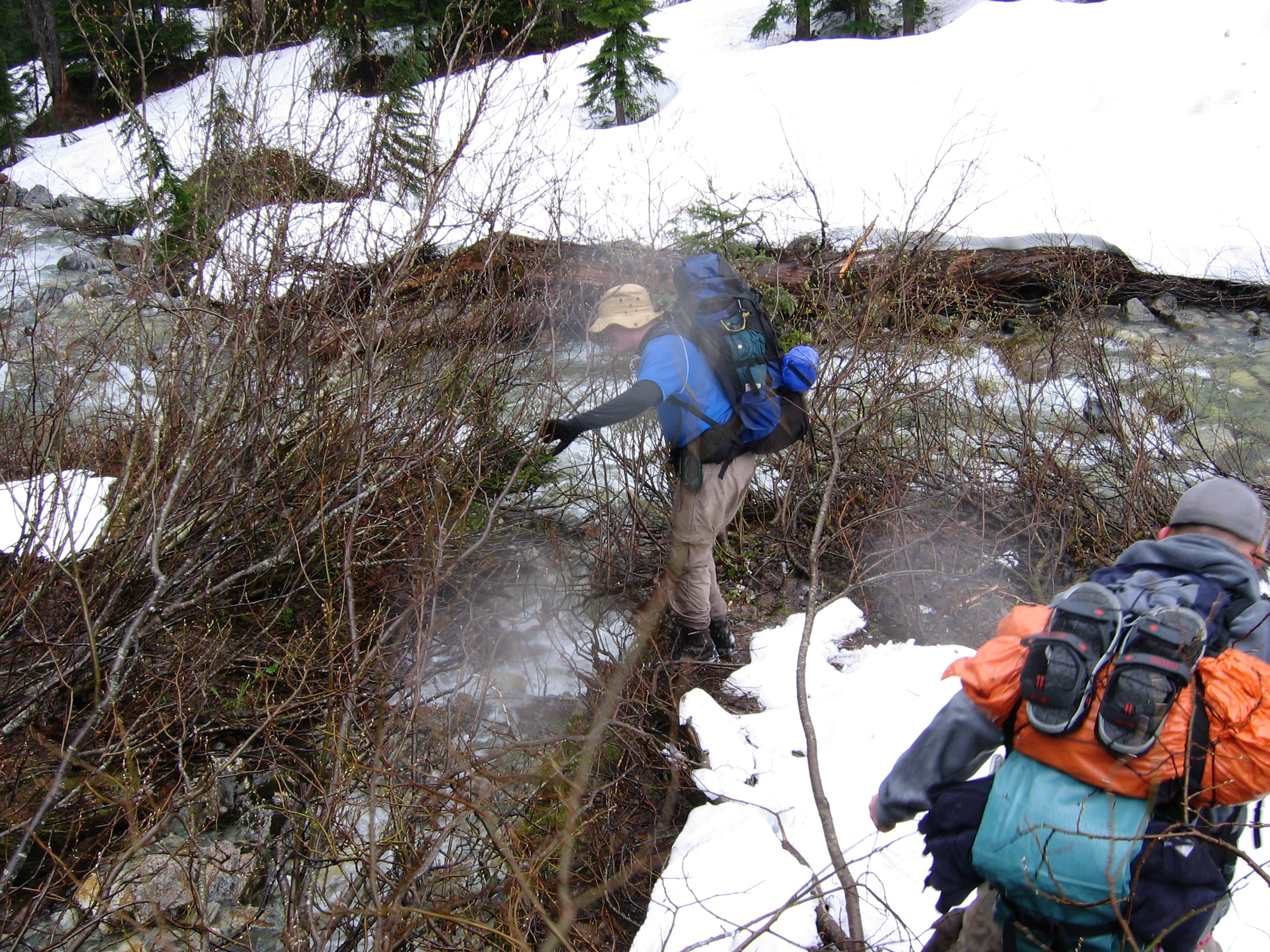
trip, ~1350m, and then begin our slow descent through more dense brush.
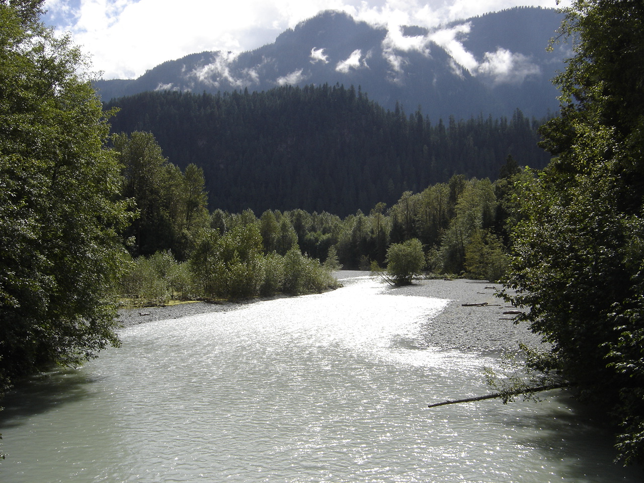
Along the way an untold number of small creeks flow down the steep
valley walls. Eventually, they all meet and join the largest, Steve
Creek, which meanders back and forth across the valley floor from here
on. High up to our right (south) hides Steve Lake which isn't visible
from below. Due south from here, and in the next valley over, lies
Pinecone Lake.
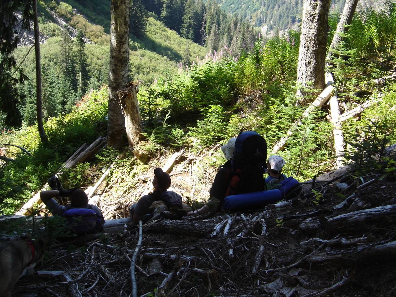
Staying to the left (north) side of the valley
as much as possible we continue heading east through the Steve Creek
valley. It's an exercise in micro-management as we try to find the
easiest way forward. It all looks the same but somewhere along here we
leave P-B Prov Park.
Eventually, and inevitably, we reach our recurring
nemesis, THE SWAMP! Truth be told it's probably a marsh but it's caused
us so much angst during our numerous attempts that calling it anything
better than swamp seems undeserved. We called it much worse names on
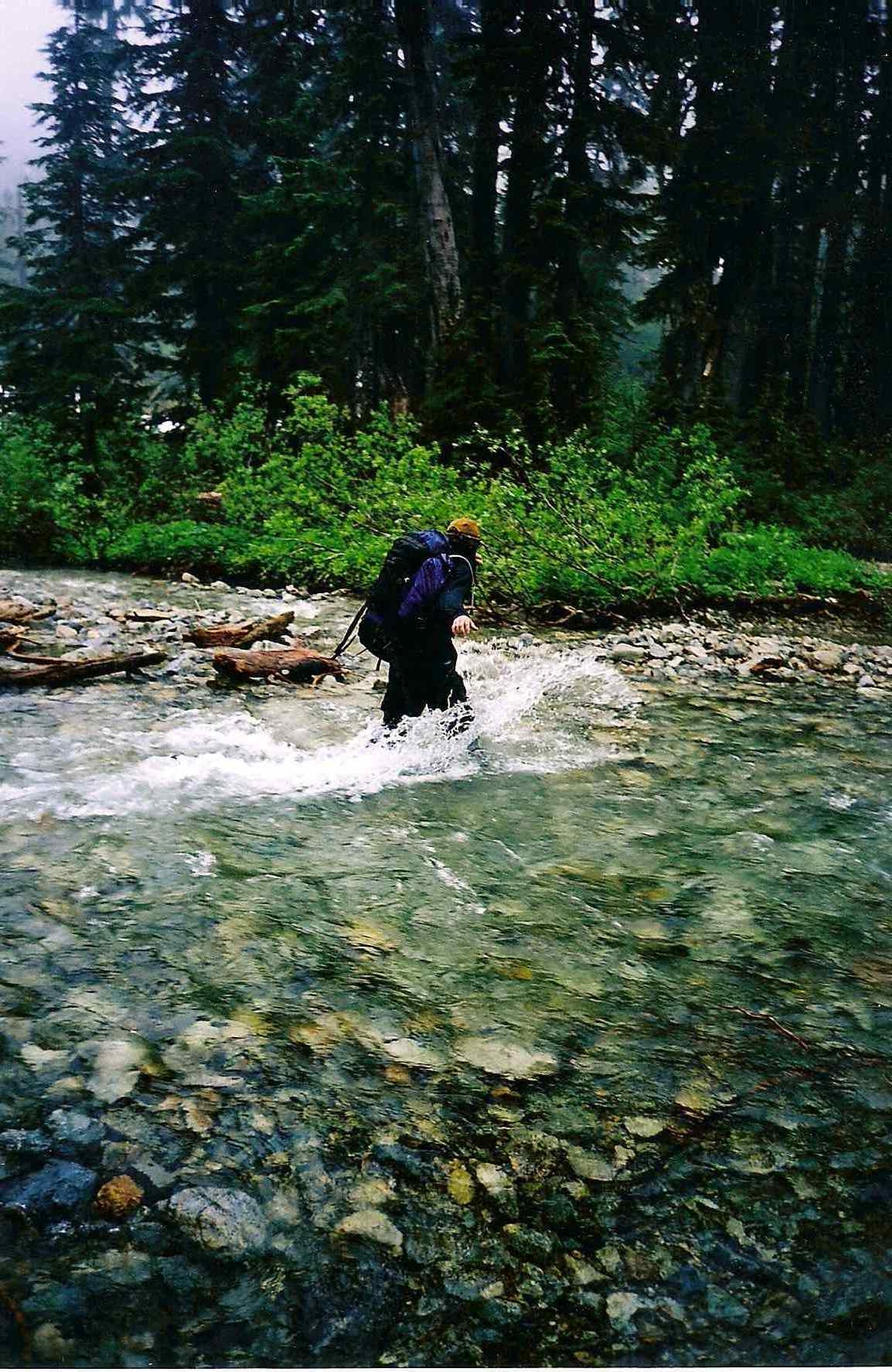
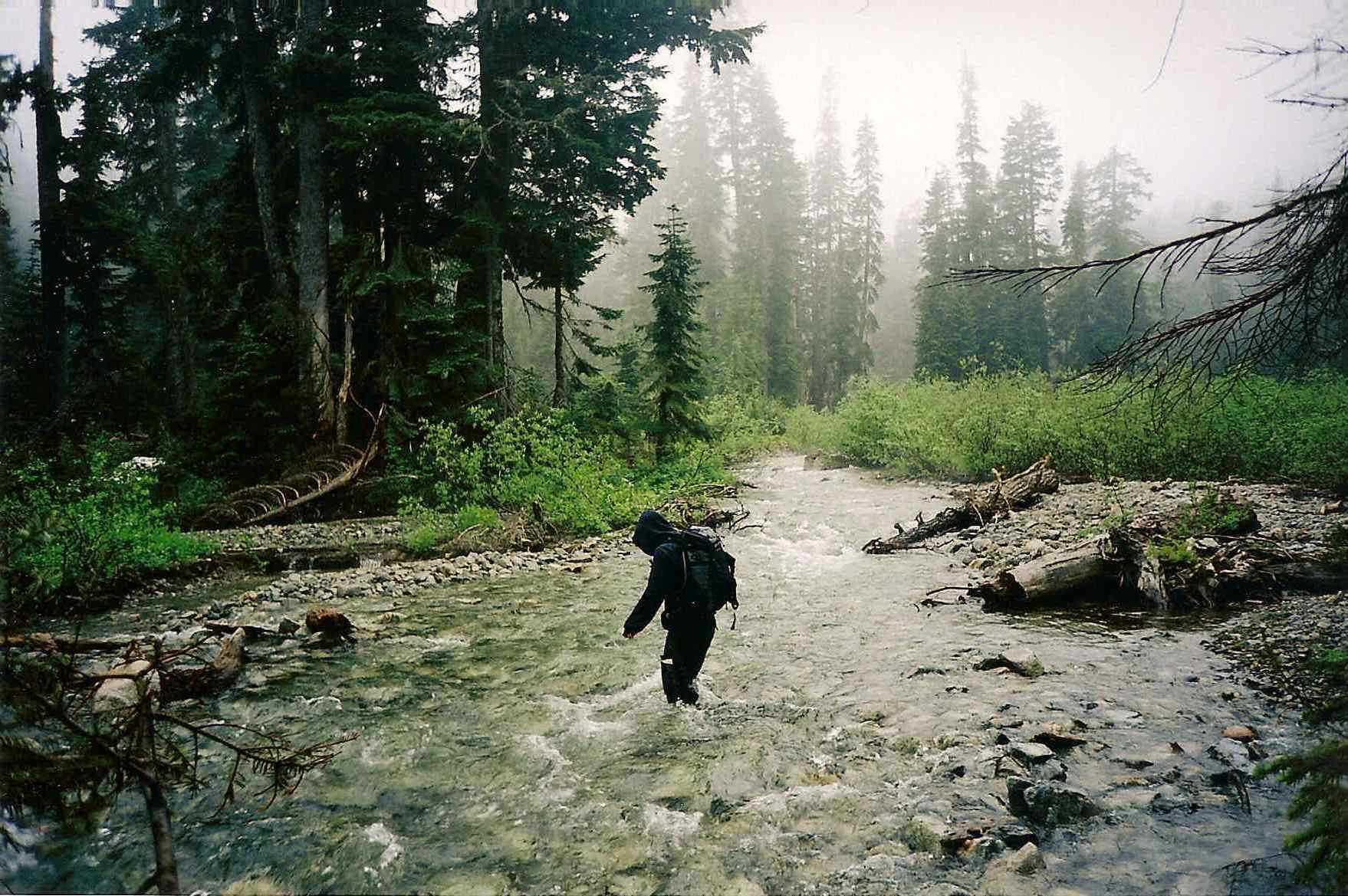
our second attempt in 2002 when we ended up hiking through its 2km
length at 10pm, wading across Steve Creek numerous times, with a single
Petzl for three people. In 2004 we brought inflatable rafts all this
way and then huffed and puffed for half an hour to blow them up only to
find that our fat asses + 4-day packs were way too goddamned big. Thank
you Lien Chien Manufacturing Company of Taiwan for your over-optimistic
estimates of carrying capacity. Good times!
On our 4th trip we were experts and knew that staying
mostly left through the length of the valley is definitely the best
route. Best of all we end up avoiding most, but not all, of the swamp.
At the end of the valley all that's left of
this leg of the journey is to pick and choose a route down a long hill
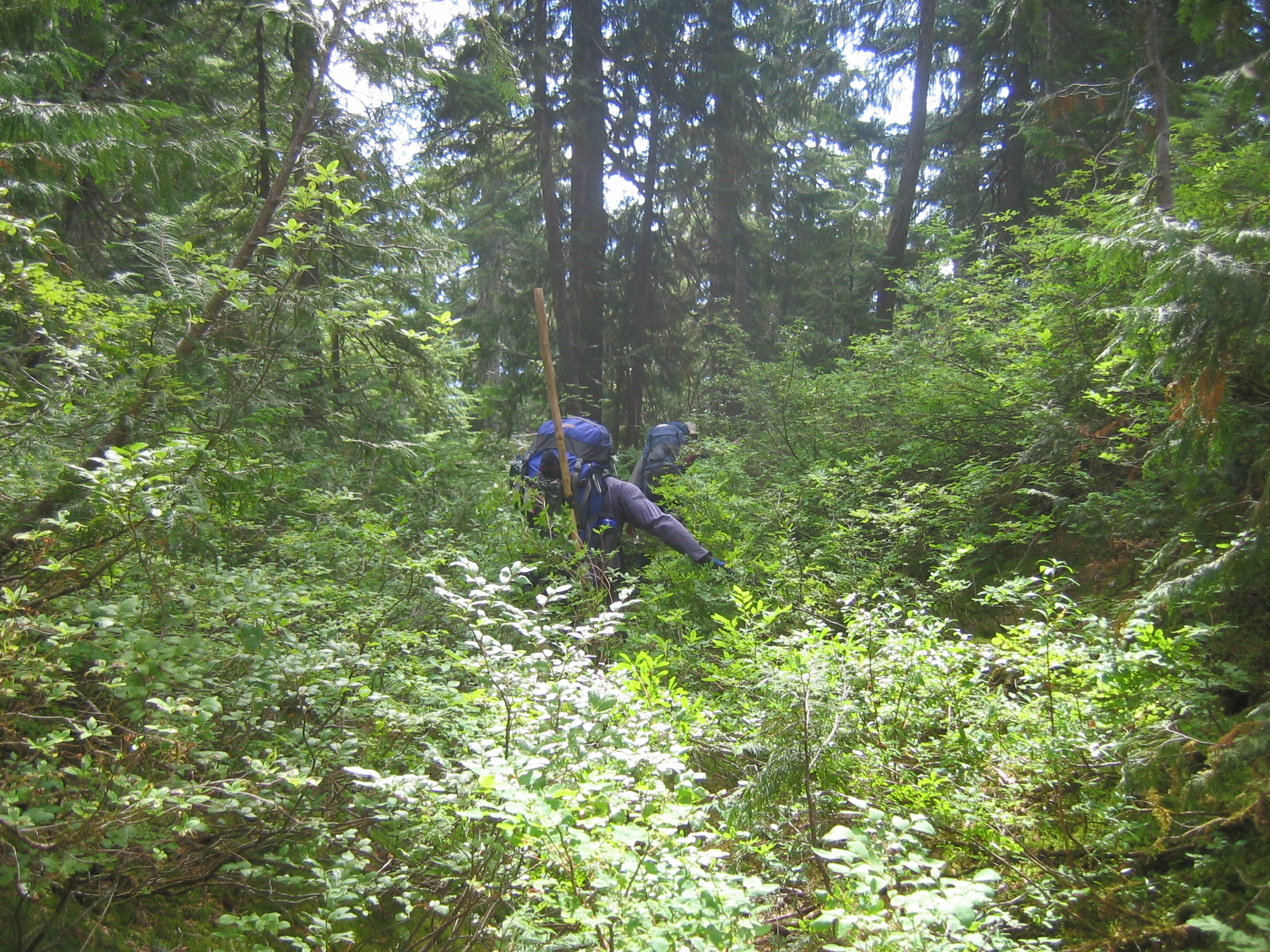
of more, you guessed it... thick, dense brush.
And presto! A major milestone is reached as we
pop out of the bush and onto a network of old logging roads. Making it
here on Day 1 is totally possible if you get an early start. Even if
you only make it as far as the Swamp on Day 1 then you can for sure
reach the springs on Day 2. Take five and enjoy the view, it may be the
last time you see it.
We were hoping that we could fast-track it
straight down to the bottom. It quickly becomes obvious that the aspect
is steep, cliffy and just plain nasty. At this point you realize just
how high up you are relative to the Pitt River which you will soon see
far, far below. (800m for those who gotta know). The only sane way down
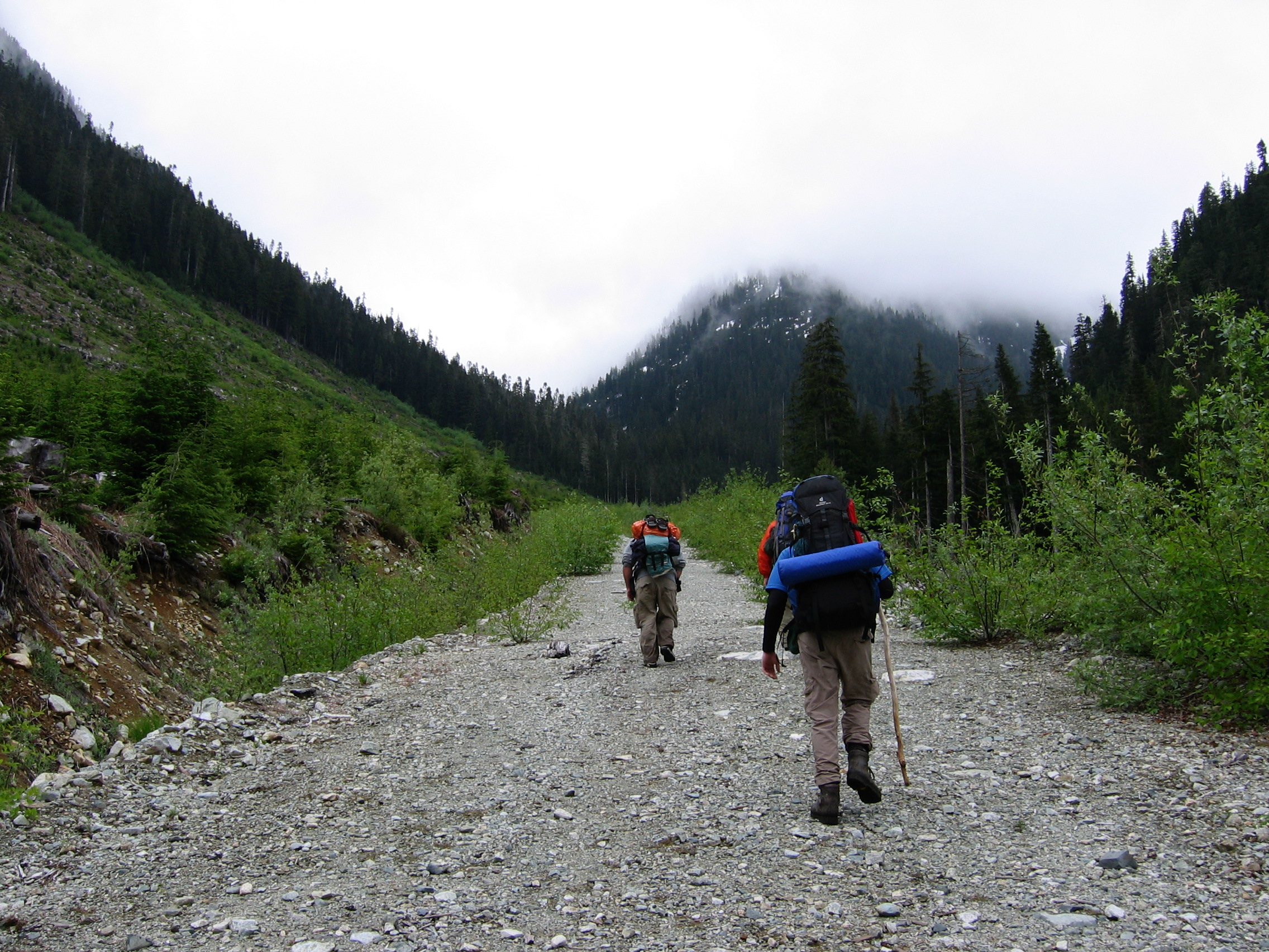
is to follow the old logging roads for the next ~12km. So off we go,
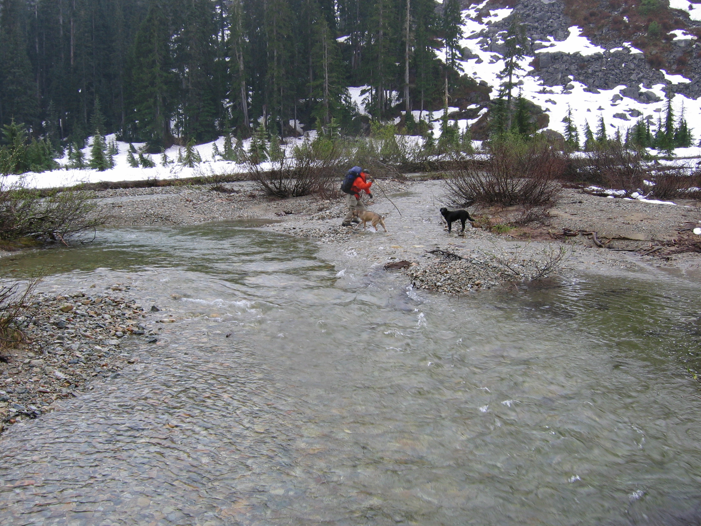
heading south to start. After a short distance we meet and cross Steve
Creek once more.
It is slow going in many places where the road is
heavily overgrown with alders. After another couple creek crossings we
reach a fork at the end of the first leg of the logging roads. A short
distance ahead we can hear Pinecone Creek rushing down from Pinecone
Lake, which is now due west (right) of us. The head of the Pinecone
Lake valley looks awfully steep from below which is why we never
considered trying this trip via the Pinecone Lake trail. We never
closely checked it out though so if you're reading this report, and it's making you jonez for an adventure, you should go try it out and post a Trip Report about it. Seriously, go right now.
We stay on the main road heading down
to the left which slowly does a 180 around and continues descending to
the north. We never actually cross Pinecone Creek but do end up
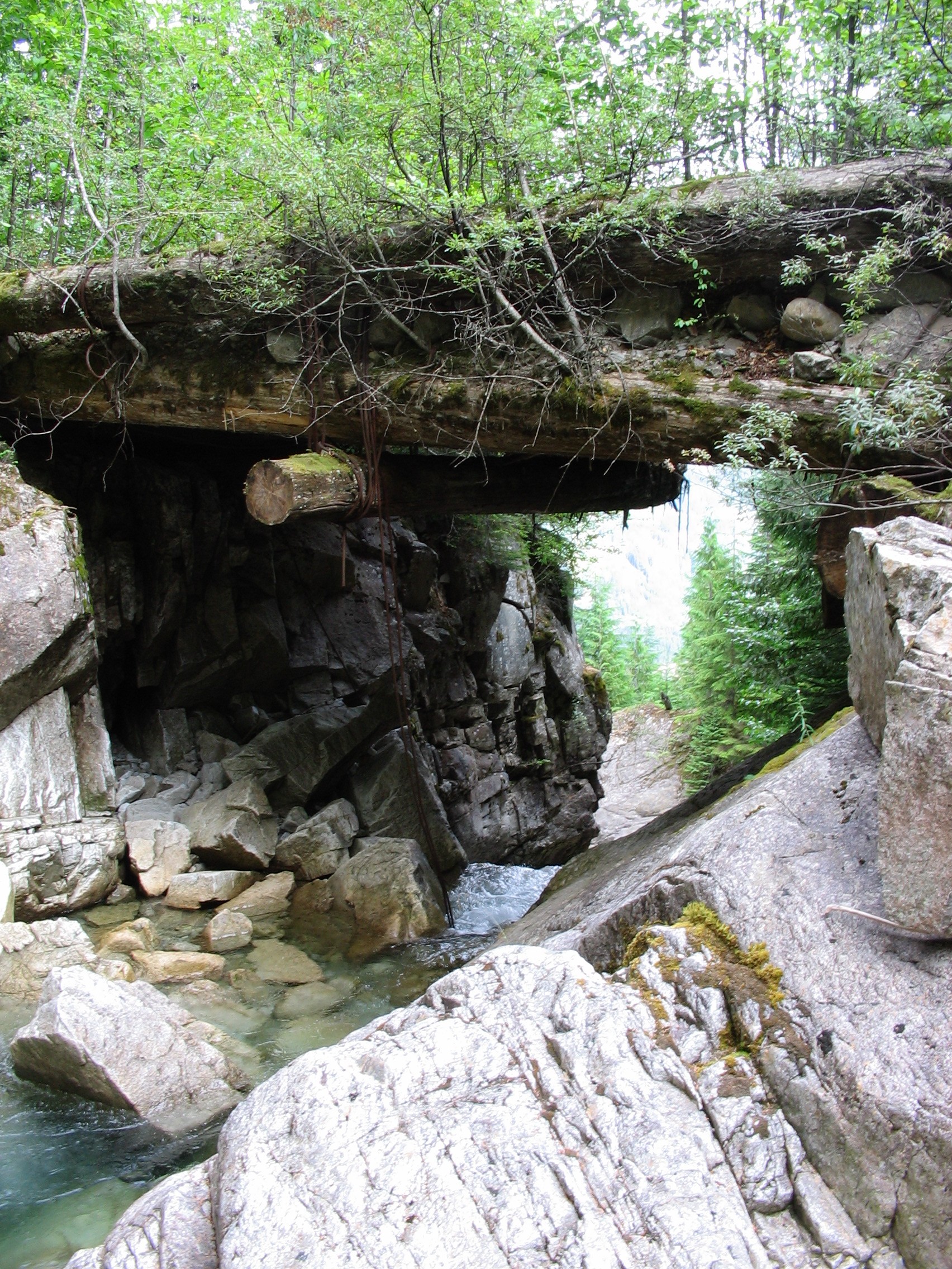
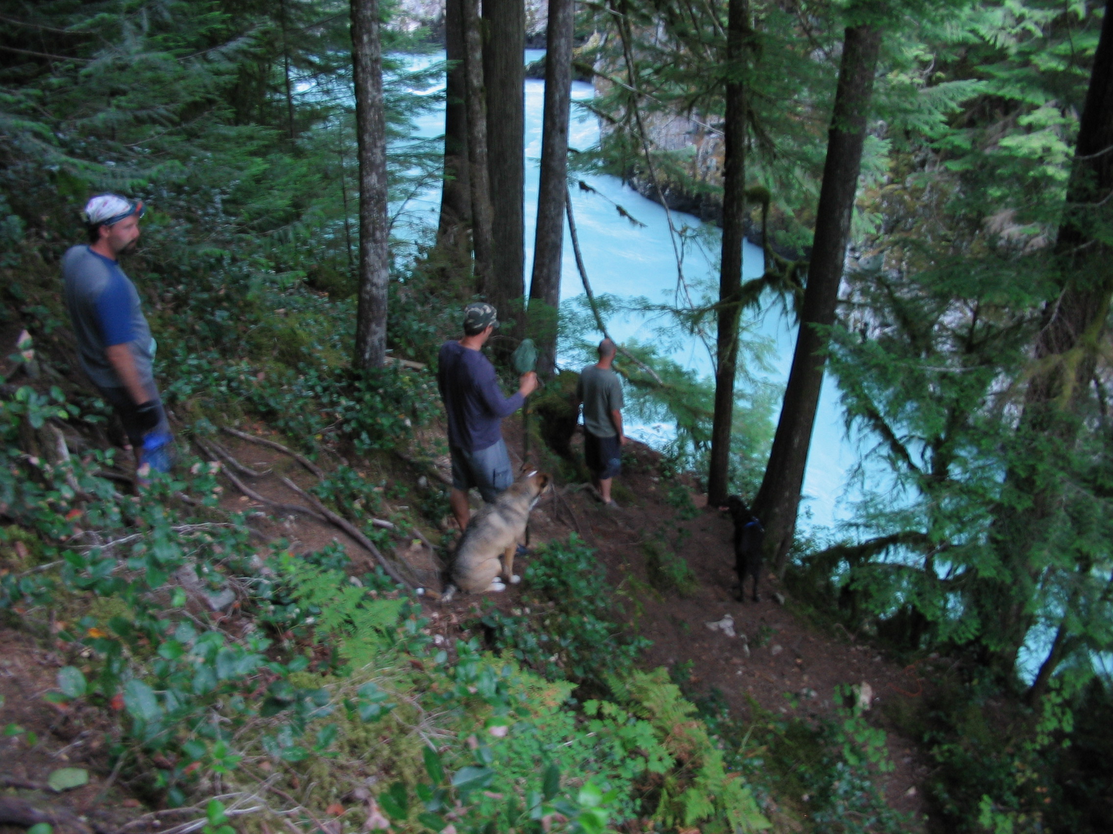
recrossing the same creeks we did on the upper road. We're quite happy,
yet slightly skeptical, about the old bridge that crosses above Steve
Creek. It is worth heading down to the creek to check out the view from
below.
Not far from here the road again wraps back
around to the south, continues down for awhile and then makes a final
turn back to the north. Soon there is one last bridge crossing of Steve
Creek and a long walk through another clearcut. The goal is in sight.
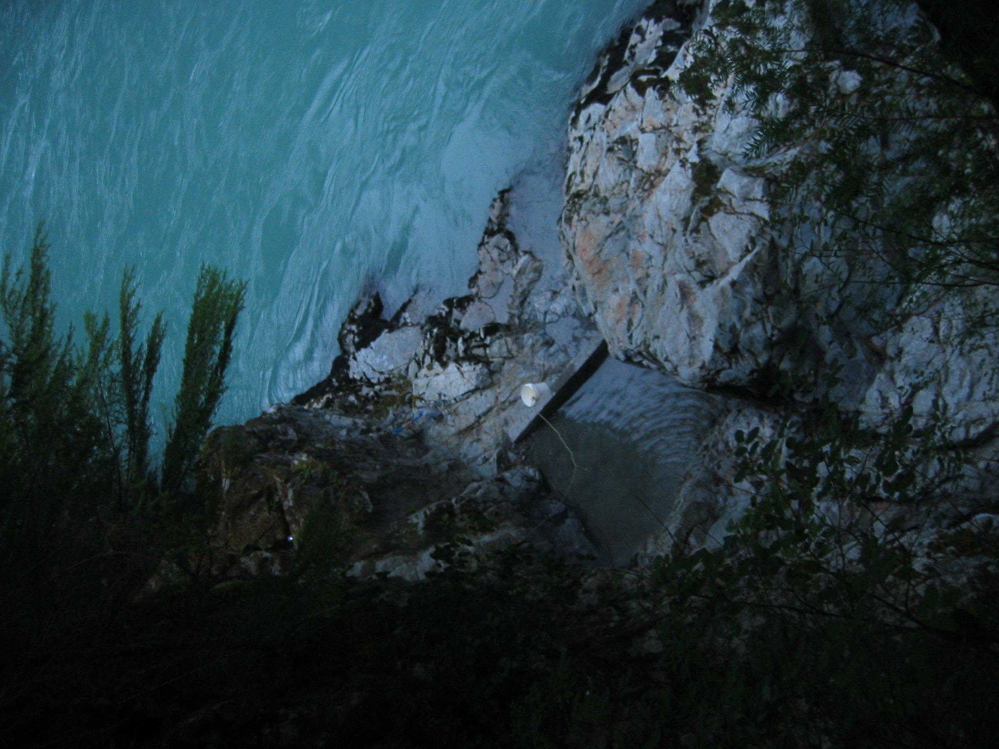
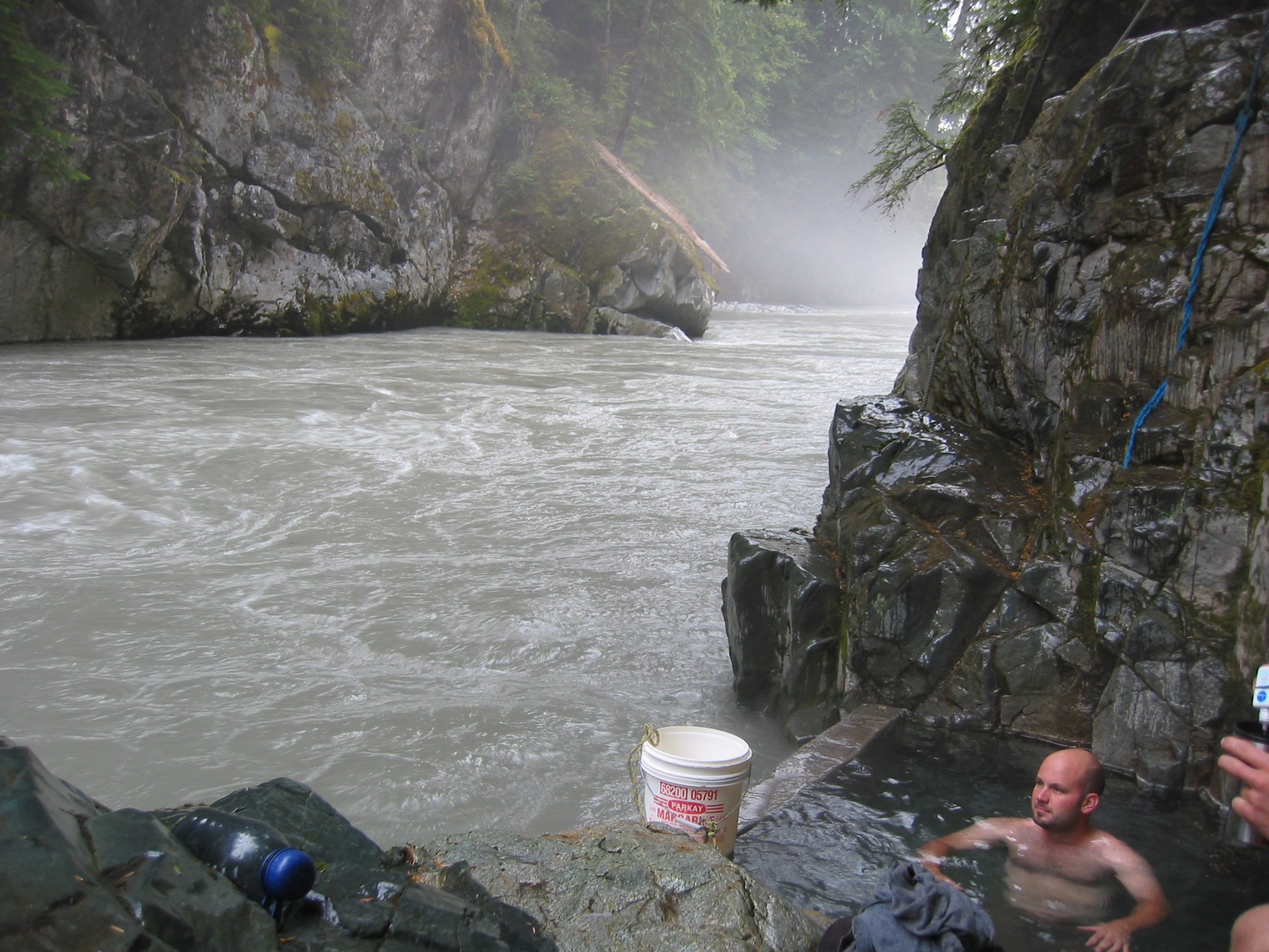
The short trail to the hotsprings is on the
left side of the road, just before the bridge. Hugging the bank of the
river about 10m below, it is sketchy in a few places and quite nutty to
do in the dark.
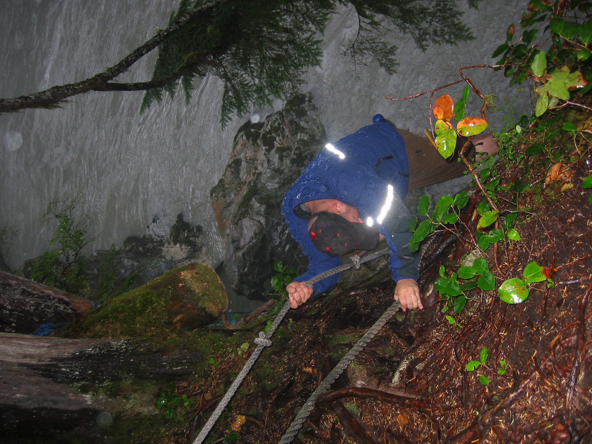
The last drop down to the springs is lined with
multiple ropes and you basically have to climb down the rocks using the
ropes to keep from falling in the river. The ropes are crucial going up
and down.
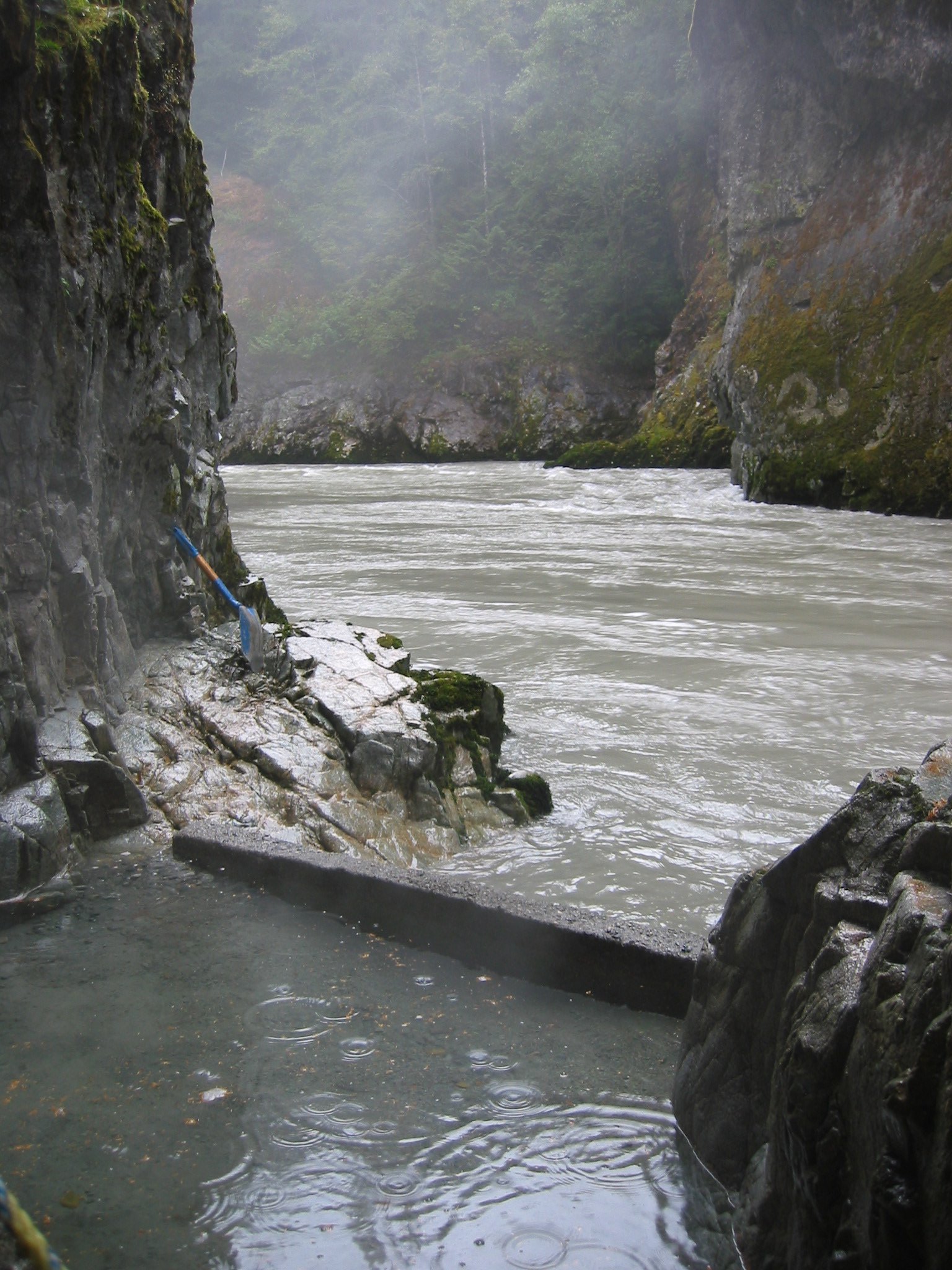
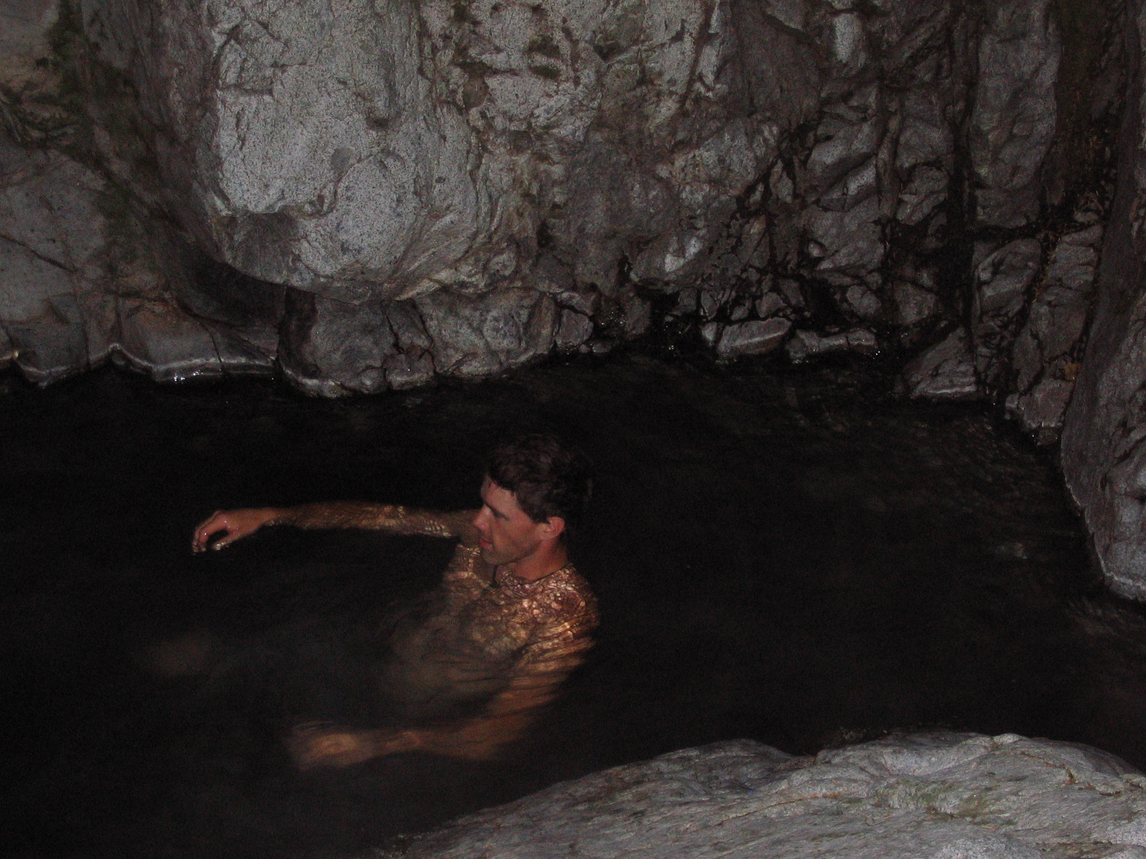
There are two small pools formed by short cement walls. Say a thanks out loud to whoever built them.
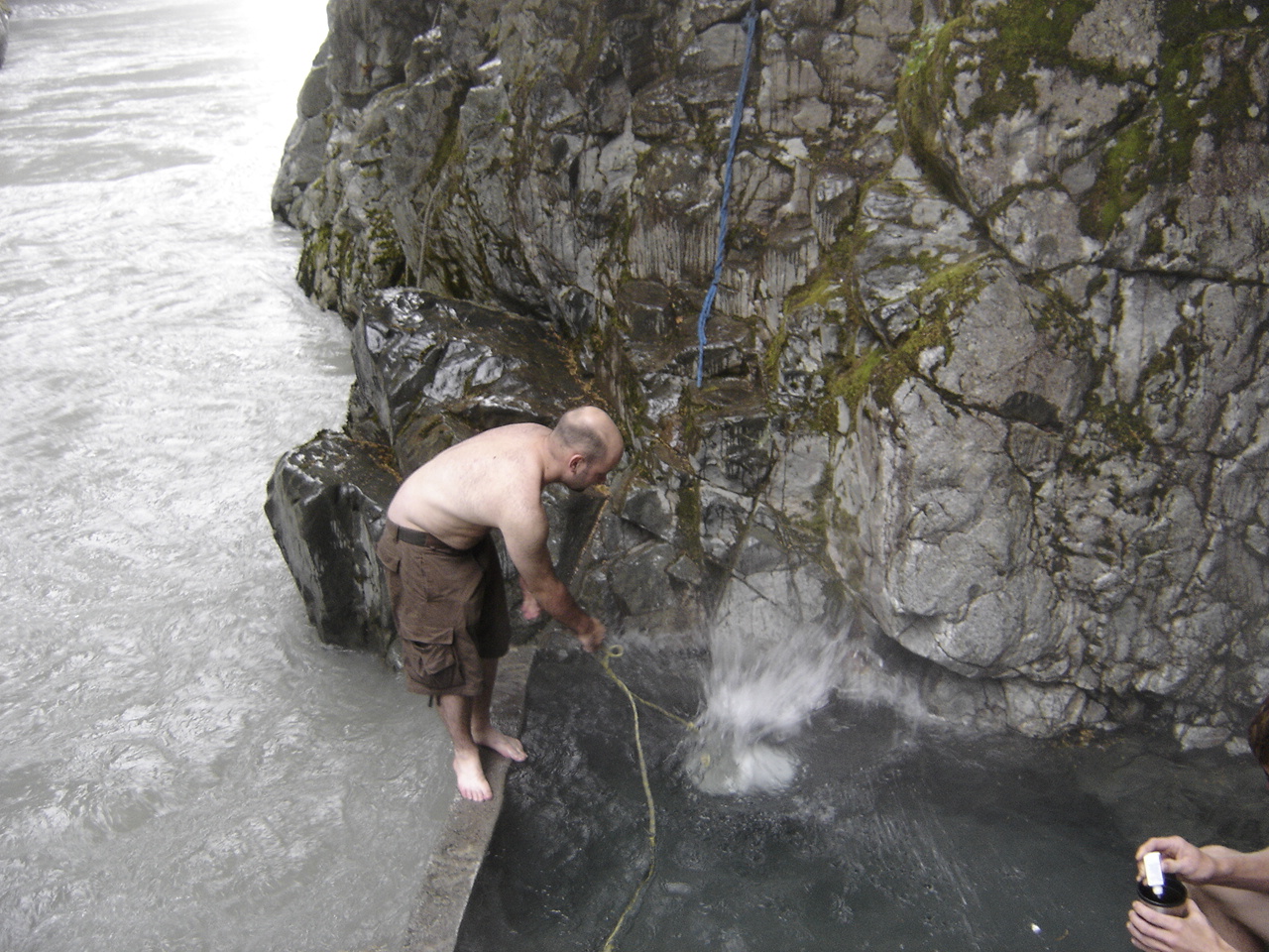
The water can be uber-hot so there is a bucket
to scoop river water and adjust the temperature til it's juuust
riiight. Make sure the bucket is tied to something when you throw it.
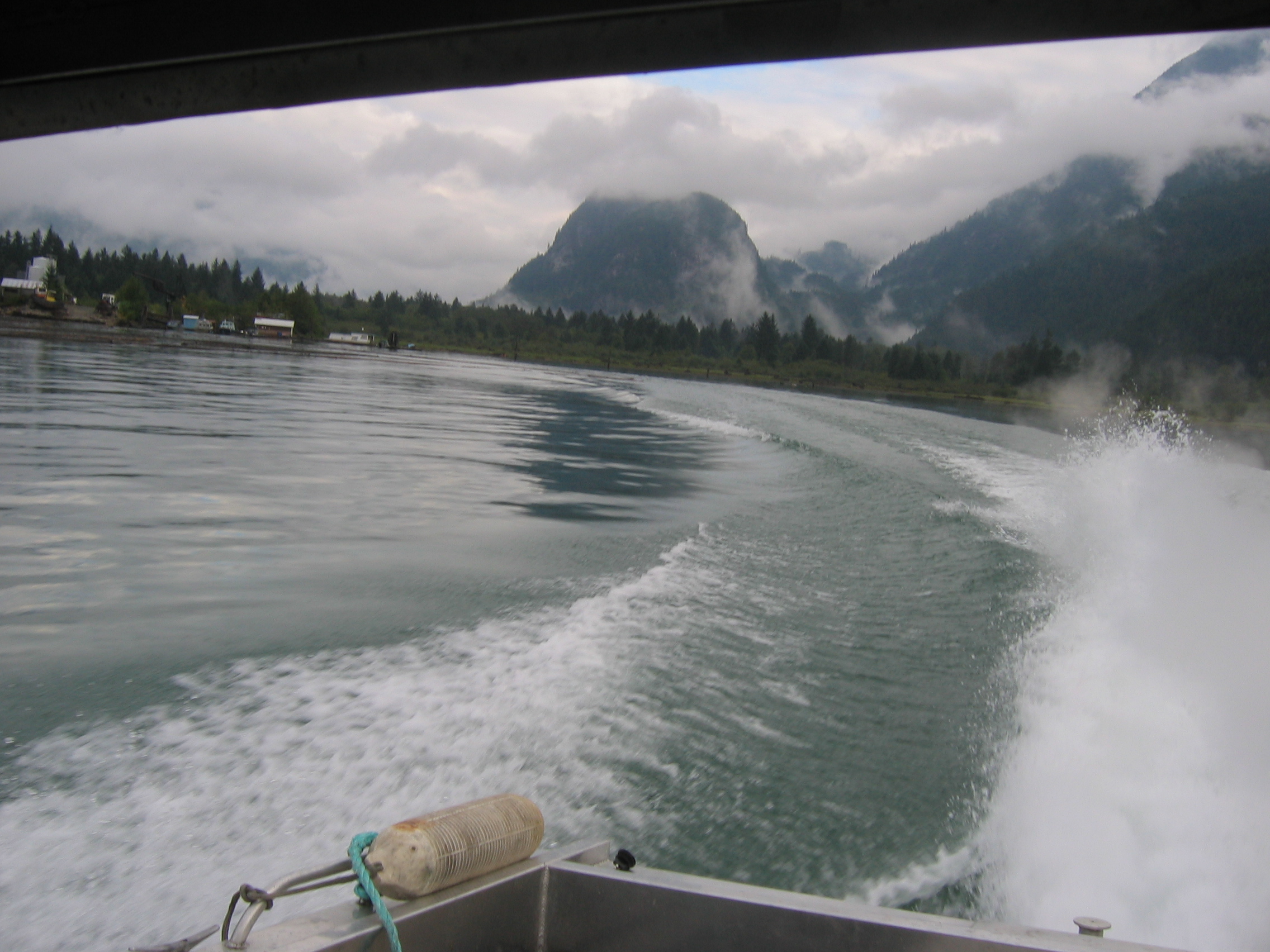
So, where to go from here? We arrived late afternoon on
Day 2. The Crawford start point is ~25km away, most of it up, the swamp
surely hasn't moved, and we have to be home in 2 days. That means no
more springs time, just pack up and start climbing. Luck was upon us
when down the road came the owner of Pitt River Lodge (www.pittriverlodge.com),
driving some guests up to the bridge for a rafting run. She was
incredibly helpful and offered to radio a water taxi if we opted to
hike south to Pitt Lake. Later that day we did indeed hike south along
the Pitt River FSR, 15km to the lodge where we gratefully accepted her
offer. Talk about helpful! She did us a huge favour and arranged the
taxi to pick us up the next afternoon and also had her nephew give us a
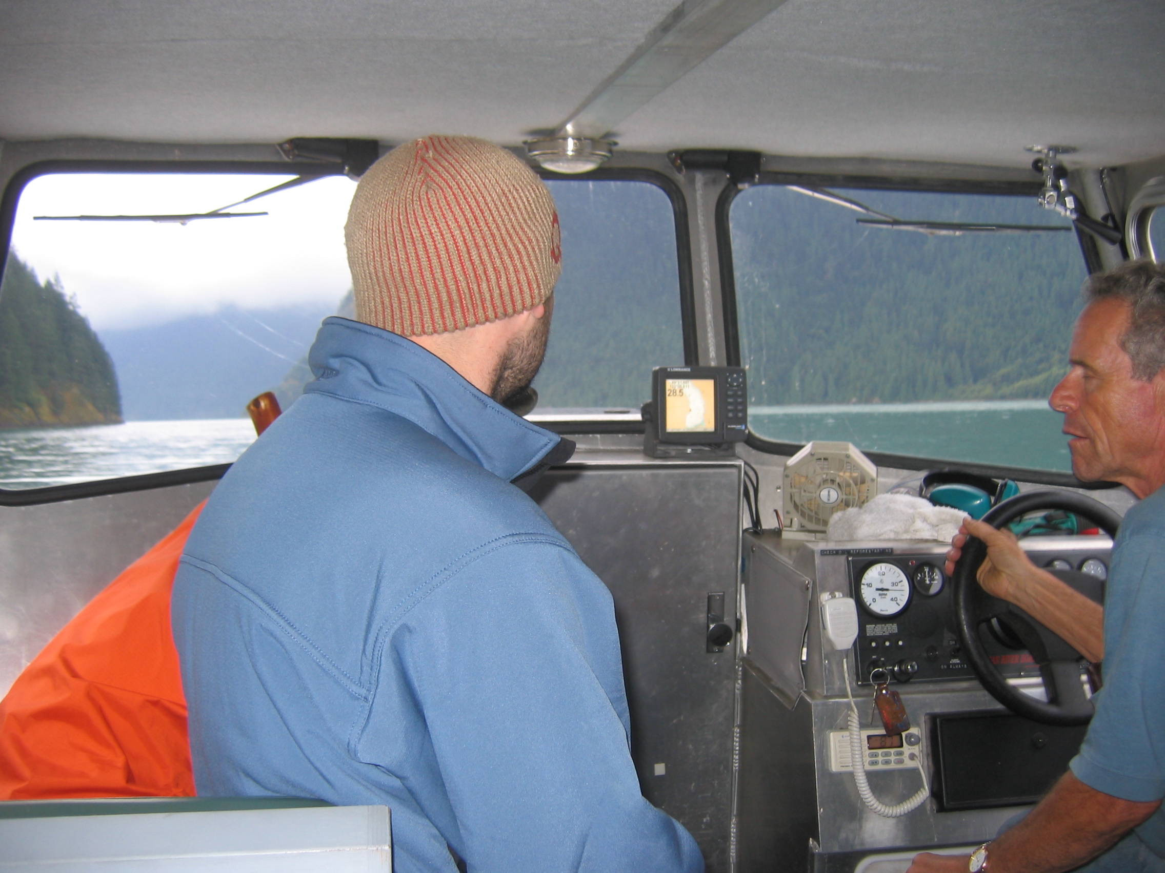
lift the last 7km south to the North End Dock!
 |
 |
 |